La Niña is an oceanic phenomenon consisting of cooler than normal sea-surface temperatures in the central and eastern tropic Pacific. It is essentially the opposite of the better-known El Niño. These sea-surface phenomena affect weather across the globe. As one oceanographer put it: when the Pacific speaks, the whole world listens.
There is currently a La Niña underway, and it is the third consecutive northern hemisphere winter that has had one. This so-called triple-dip event is rather rare. The only other times they have been recorded over the past 70 years were in 1954-56, 1973-76, and 1998-2001.
La Niñas appear when strong easterly trade winds increase the upwelling of cooler water from the depths of the eastern tropical Pacific Ocean near the equator. This causes large-scale cooling of the ocean surface. The cooler ocean surface modifies the moisture content of the atmosphere across the Pacific and can cause shifts in the path of jet streams that intensifies rainfall in some places and causes droughts in others.
These weather effects tend to include floods in northern Australia, Indonesia, and southeast Asia and, in contrast, drought in the American southwest. In North America, cooler and stormier conditions often occur across the Pacific Northwest while the weather becomes warmer across the southern US and northern Mexico.
In the spring, the tropic Pacific essentially resets itself and starts building toward whatever condition will happen in the following winter, be it another La Niña or possibly an El Niño. For the time being, forecasters expect the current La Niña to persist through February.
**********
Web Links
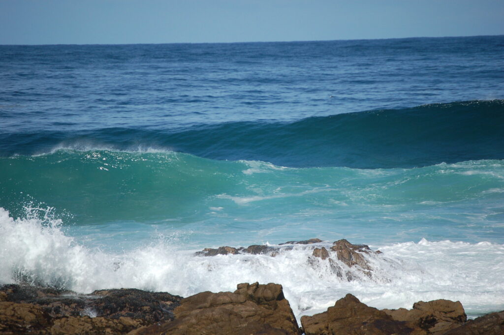
Photo, posted March 10, 2007, courtesy of Gail via Flickr.
Earth Wise is a production of WAMC Northeast Public Radio
Leave a Reply