After seven months of waiting following the end of the recent El Niño condition, La Niña finally showed up in the eastern Pacific Ocean in early December.
El Niño and La Niña are climate patterns in the Pacific Ocean that can affect weather worldwide. Normally, trade winds in the Pacific blow west along the equator, taking warm water from South America towards Asia. To replace the warm water, cold water rises from the depths. During El Niño, trade winds weaken and warm water is pushed back east, toward the west coast of the Americas. As a result, areas in the northern U.S. and Canada are dryer and warmer than usual.
During La Niña, trade winds are stronger than usual, pushing more warm water toward Asia. This results in more upwelling of cooler water from the depths. This tends to lead to drought in the southern U.S. and heavy rains and flooding in the Pacific Northwest and Canada. During a La Niña year, winter temperatures are warmer than normal in the South and cooler than normal in the North.
According to the report published in January by NOAA, the La Niña that has arrived is not a particularly strong one. Sea surface temperatures are only about 1.3 degrees Fahrenheit below average in the tropical Pacific. The report also suggests that the La Niña condition may not stick around very long.
The El Niño-Southern Oscillation phenomenon adds a natural source of year-to-year variability in global temperatures. The presence of La Niña for at least part of this year may temporarily keep the lid on rapidly climbing global temperatures.
**********
Web Links
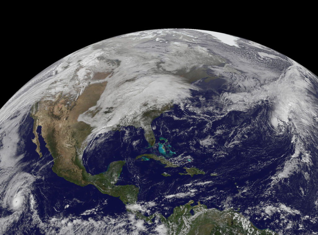
Photo, posted November 23, 2011, courtesy of NASA Goddard Space Flight Center via Flickr.
Earth Wise is a production of WAMC Northeast Public Radio
Leave a Reply