• Skip to primary navigation
  • Skip to main content
  • Skip to primary sidebar

Earth Wise

A look at our changing environment.

  • Home
  • About Earth Wise
  • Where to Listen
  • All Articles
  • Show Search
Hide Search
You are here: Home / Archives for noaa

noaa

Training Corals To Tolerate Heat | Earth Wise

April 19, 2022 By EarthWise Leave a Comment

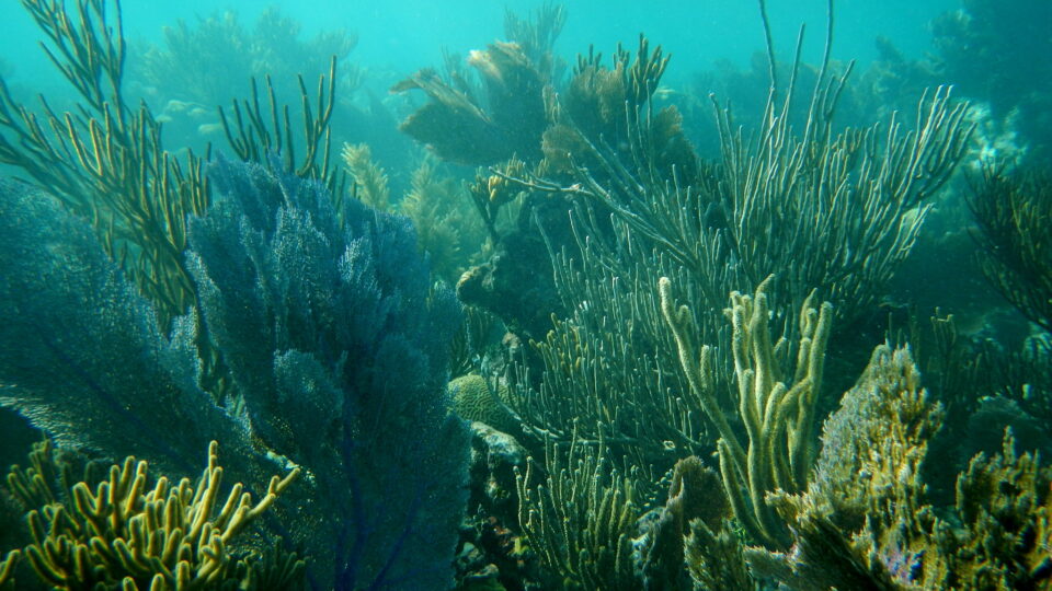
Conditioning corals to tolerate heat

When ocean water is too warm, corals expel the algae that lives in their tissues, which causes the coral to turn completely white.  This is called coral bleaching.   When this happens, the coral is not dead.  However, corals are dependent upon the symbiotic relationship with algae and if conditions don’t improve, they don’t let the algae back in and the corals will die.

According to the National Oceanic and Atmospheric Administration, between 2014 and 2017, around 75% of the world’s tropical coral reefs experienced heat stress severe enough to trigger bleaching.  For 30% of the world’s reefs, the heat stress was enough to kill the coral.

According to new research by the University of Miami published in the journal Coral Reefs, corals subjected to a stressful regimen of very warm water in the laboratory came to be more tolerant of high temperatures, offering a potential tool for preserving ailing coral reefs.

In the study, some corals were kept in water at a constant temperature of 82 degrees while others saw water temperatures fluctuating between 82 degrees and 88 degrees.  After 90 days of this treatment, the corals exposed to variable temperatures were able to tolerate high heat for longer periods before bleaching.  This training regime is akin to an athlete preparing for a race.

The findings suggest a possible approach for restoring coral reefs.  Nursery-raised corals that are “trained” to tolerate heat could be planted onto reefs endangered by warming waters.  Reefs populated by corals with boosted stamina to heat stress could have a greater chance of surviving the warming waters of the oceans.

**********

Web Links

Some Corals Can Be Conditioned to Tolerate Heat, Study Finds

Photo, posted December 16, 2015, courtesy of Big Cypress National Preserve via Flickr.

Earth Wise is a production of WAMC Northeast Public Radio.
Lighted Nets Protect Marine Wildlife | Earth Wise

March 16, 2022 By EarthWise Leave a Comment

Adding light to marine nets to protect wildlife

Gillnets are walls or curtains of netting that hang in the water to trap fish.  They are one of the most extensively used fishing gear in coastal regions throughout the world’s oceans.  While they are very effective at catching targeted fish species, they are not discriminating.  As a result, they carry significant risk of bycatch – the accidental capture of unwanted species as well as other interactions with various marine animals.

Researchers from The Wildlife Conservation Society, NOAA Fisheries, Arizona State University, and the National Fisheries and Aquaculture Institute of Mexico have recently published a study showing that using lighted gillnets reduced overall bycatch by 63%, including a 95% reduction in sharks, skates, and rays, and an 81% reduction in Humboldt squid. 

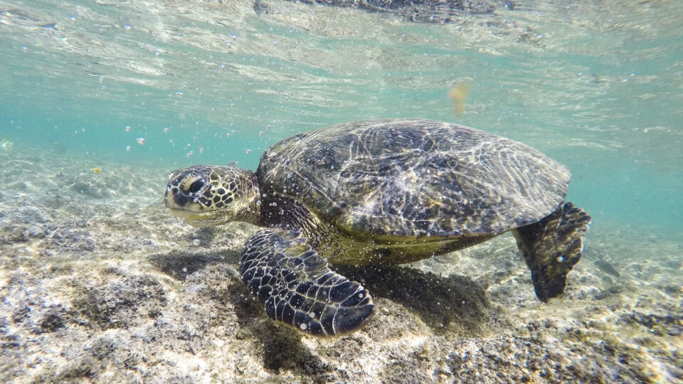
Gillnets often catch endangered, threatened, and protected species such as sharks, sea turtles, marine mammals, and seabirds, as well as unwanted species and non-marketable juvenile target fish species.  The bycatch animals are often dead or injured and are generally dumped overboard.

Illuminating gillnets with LED lights has emerged over the past decade as an effective tool to reduce bycatch of endangered sea turtles.  The new study is the first detailed examination of the effectiveness of illumination for other vulnerable species.

Gillnets are ubiquitous because they are inexpensive and catch everything that passes them.  Global populations of sharks, skates, and rays have declined as a result of bycatch and illegal fishing. The results of this study are encouraging because they provide a practical solution for increasing the selectivity of gillnets and avoiding bycatch. 

**********

Web Links

Lighted Nets Dramatically Reduce Bycatch of Sharks and Other Wildlife While Making Fishing More Efficient

Photo, posted September 19, 2015, courtesy of Jim Bahn via Flickr.

Earth Wise is a production of WAMC Northeast Public Radio.
July Was A Scorcher | Earth Wise

September 2, 2021 By EarthWise Leave a Comment

Record setting July 2021 was the hottest month ever

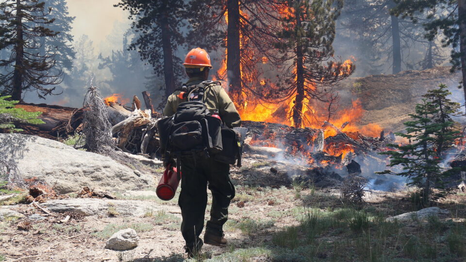
July 2021 has the unfortunate distinction as being the world’s hottest month ever recorded according to global data from the National Oceanic and Atmospheric Administration.   July is typically the warmest month of the year, but this July was the warmest month of any year on record.

The combined global land and ocean surface temperature was 62.07 degrees Fahrenheit, which is 1.67 degrees above the 20th century average.  This was the highest monthly average since records began 142 years ago.  It broke the previous record set in July 2016 and tied in 2019 and 2020.

The Northern Hemisphere was 2.77 degrees above average.  Asia had its hottest July on record.  Europe had its second hottest July on record.  Places like Africa, Australia, and New Zealand all had top-ten warmest Julys.

Other aspects of the changing climate included the observation that Arctic sea ice coverage for July was the fourth-smallest in the 43-year record.  Interestingly, Antarctic sea ice extent was actually above average in July.  Global tropic cyclone activity this year so far is above normal for the number of named storms.  In the Atlantic basin, the formation of the storm Elsa on July 1 was the earliest date for a 5th named storm.

It remains very likely that 2021 will rank among the 10 hottest years on record.  Extreme heat is a reflection on the long-term climate changes that were outlined recently in a major report released by the Intergovernmental Panel on Climate Change.  These latest global observations add to the disturbing and disruptive path that the changing climate has set for the world.

**********

Web Links

It’s official: July was Earth’s hottest month on record

Photo, posted July 15, 2021, courtesy of Lori Iverson/National Interagency Fire Center via Flickr.

Earth Wise is a production of WAMC Northeast Public Radio.
The Gulf Of Mexico Dead Zone | Earth Wise

July 19, 2021 By EarthWise Leave a Comment

Forecasting the 2021 dead zone in the Gulf of Mexico

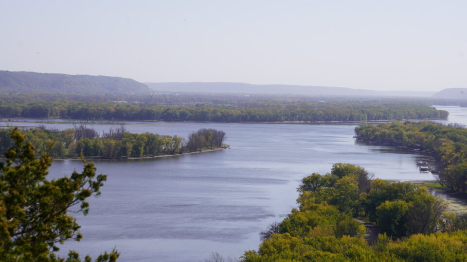
Every summer, a so-called dead zone forms in the Gulf of Mexico.  It is primarily caused by excess nutrient pollution from human activities in urban and agricultural areas throughout the Mississippi River watershed. 

When these excess nutrients reach the Gulf, they stimulate excess growth of algae, which eventually die and decompose, depleting oxygen as they sink to the bottom.  These low oxygen levels near the Gulf bottom cannot support most marine life.  Animals that are sufficiently mobile – such as fish, shrimp, and crabs – generally swim out of the area.  Those that can’t move away are stressed or killed by the low oxygen.

A team of scientists funded by the National Oceanic and Atmospheric Administration issues an annual forecast for the dead zone based upon a suite of models that incorporate river flow and nutrient data. 

The 2021 forecasted area is somewhat smaller than, but close to, the five-year measured average for the dead zone, which is 5,400 square miles, roughly the size of the state of Connecticut.   Each year, these forecasts are reported as comparisons to long-term averages, but the problem is that the long-term average is unacceptable.

The Interagency Mississippi River and Gulf of Mexico Hypoxia Task Force has set a goal of reducing the size of the dead zone to a five-year average of 1,900 square miles – about a third of the current average.

Large reductions in nutrient loads have been called for in federal and state action plans for nearly 20 years, but clearly these reductions have not yet been sufficient. The Interagency Task Force continues to provide information for managing nutrient loads in the Mississippi River Basin. 

**********

Web Links

Average-sized ‘dead zone’ forecast for Gulf of Mexico

Photo, posted October 6, 2020, courtesy of Christine Warner via Flickr.

Earth Wise is a production of WAMC Northeast Public Radio.
Marine Debris | Earth Wise

July 8, 2021 By EarthWise Leave a Comment

Marine debris poses a perilous threat to communities all around the world

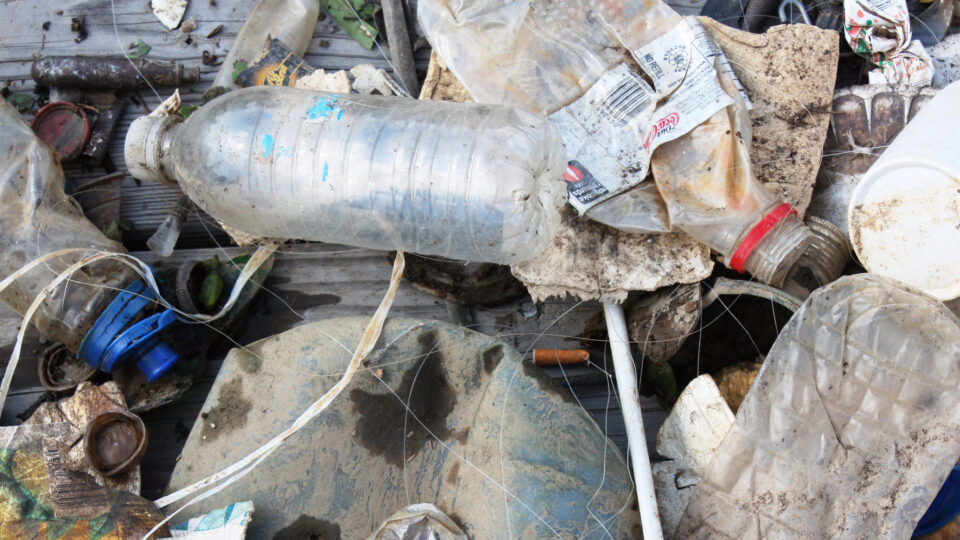
Marine debris is a troubling issue around the world.  For most people, it is unsightly and perhaps inconvenient, but for many it is a critical problem that has serious impacts on many aspects of life.  This is especially the case for indigenous communities for whom the natural environment around the ocean is central to subsistence, recreation, culture, and economic opportunities.

The National Oceanic and Atmospheric Administration sponsors a Marine Debris Program that supports multiple projects.  In Alaska’s Pribilof Islands, the indigenous communities of St. George and St. Paul Islands conduct regular cleanups to protect and steward the natural resources that they depend on.  They make use of unmanned aircraft system surveys to target removal and monitoring efforts.

Another NOAA-sponsored program works to clean up the Maybeso Estuary in Alaska’s Prince of Wales Islands.  The project has removed 35,000 pounds of debris, freeing the flow of the salmon stream and restoring the area as a prime hotspot for fishing, boating, and outdoor recreation.

In Washington State’s Olympic Coast, the Makah Tribe has a project to locate and remove derelict crab pots and fishing lines from 80 miles of fishing area and marine sanctuary.  Derelict fishing gear can trap and entangle animals, degrade habitat, imperil navigation, and interfere with fishing.  The project team is working with tribal stakeholders on promoting marine debris awareness.

All of these communities have cared for the environment for generations, but marine debris poses perilous threats to their territories and community action is needed to preserve and protect these remarkable places.

**********

Web Links

Lives and Livelihoods Disrupted by Marine Debris

Photo, posted September 11, 2015, courtesy of NOAA’s National Ocean Service via Flickr.

Earth Wise is a production of WAMC Northeast Public Radio.
Record Carbon Dioxide Levels | Earth Wise

June 29, 2021 By EarthWise Leave a Comment

Carbon dioxide levels set another record despite pandemic shutdowns

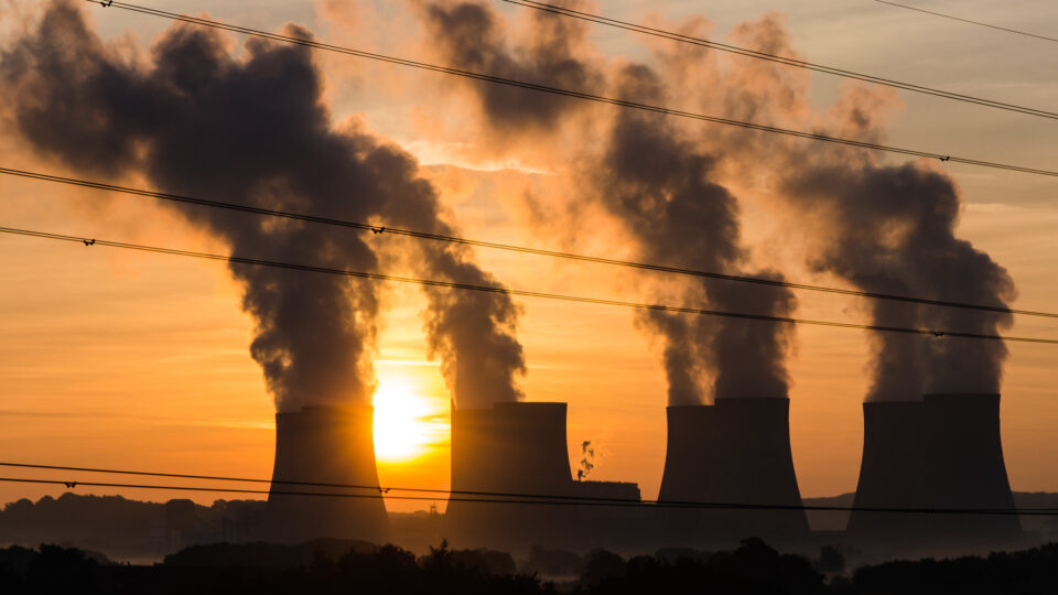
The coronavirus pandemic caused a temporary dip in the burning of fossil fuels around the world as many human activities were diminished or curtailed entirely.  Despite this, the amount of carbon dioxide in the atmosphere set a record in May, reaching the highest levels in human history.

Scientific instruments atop the Mauna Loa volcano in Hawaii measured an average of 419 parts per million for the month, according to analysis from both the Scripps Institution of Oceanography and the National Oceanic and Atmospheric Administration.

This level is about half a percent more than the previous record of 417 ppm, set in May of 2020.  Carbon dioxide is the largest greenhouse gas contributor driving global warming and, according to scientists, there hasn’t been this much of it in the atmosphere for millions of years.

Global emissions of carbon dioxide were actually 5.8 percent lower in 2020 than 2019, as a result of pandemic lockdowns.  This was the largest one-year drop ever recorded.  But humanity was still responsible for emitting more than 31 billion tons of carbon dioxide last year.  About half of that CO2 is absorbed by the world’s trees and oceans, but the other half lingers in the atmosphere for thousands of years, gradually warming the planet via the greenhouse effect.

As long as we keep emitting carbon dioxide, it is going to continue to pile up in the atmosphere.  The only way to stop it is for the world’s nations to zero out their net emissions, mostly by switching away from fossil fuels to technologies that do not emit carbon dioxide, such as electric vehicles fueled by wind, solar, or nuclear power.

**********

Web Links

Carbon Dioxide in Atmosphere Hits Record High Despite Pandemic Dip

Photo, posted August 7, 2013, courtesy of Gerry Machen via Flickr.

Earth Wise is a production of WAMC Northeast Public Radio.
Ozone Recovery Back On Track | Earth Wise

March 15, 2021 By EarthWise Leave a Comment

Ozone recovery is on track

In 2019, we reported that new emissions of chlorofluorocarbons from eastern Asia were threatening the recovery of the ozone layer in the upper atmosphere.  An unexpected spike in CFC emissions was threatening to undo the progress made under the Montreal Protocol, the international treaty under which every country in the world agreed to phase out the production and use of the ozone-eating chemicals by 2010.

In 2018, a team of scientists reported the spike in emissions of the particular formulation CFC-11 that began in 2013.  By 2019, a second team reported that a significant portion of the emissions could be traced to the Shandong and Hebie provinces in China where there were small factories using the chemical to manufacture foam insulation used in refrigerators and buildings.

Recently, in two papers published in Nature, the same two research teams reported that the global annual emissions of CFC-11 into the atmosphere have declined sharply.   They traced a substantial fraction of the global emission reductions to the very same regions of eastern China where they had previously reported the original spike. 

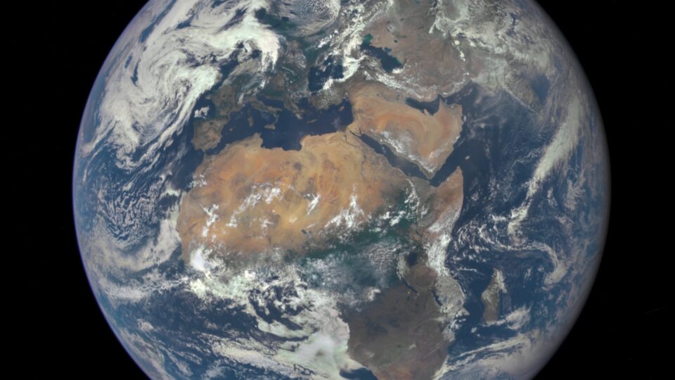
The results are very encouraging.   If CFC-11 emissions had continued to rise, or even just level off, there would have been real problems with ozone depletion.  Two independent global monitoring networks – one operated by the National Oceanic and Atmospheric Administration and one led by MIT called the Advanced Global Atmospheric Gases Experiment – are doing a good job of detecting threats to the world’s protective ozone layer.  However, the Chinese sources only accounted for about half of the CFC-11 entering the atmosphere.  We still don’t know where the rest of it is coming from.

**********

Web Links

Reductions in CFC-11 emissions put ozone recovery back on track

Return of an Old Threat

Photo, posted July 29, 2015, courtesy of NASA Goddard Space Flight Center via Flickr.

Earth Wise is a production of WAMC Northeast Public Radio.
The Caspian Sea And Climate Change | Earth Wise

January 22, 2021 By EarthWise Leave a Comment

Climate change will lower water levels in the Caspian Sea

According to the National Oceanic and Atmospheric Administration, global sea levels have been rising over the past century, and the rate has increased in recent decades.  Sea levels are currently rising about one-eighth of an inch every year.

Sea level rise is caused primarily by two factors related to climate change:  the added water from melting glaciers and ice sheets, and the expansion of seawater as it warms.  While climate change is causing global sea levels to rise, higher temperatures in other regions are having exactly the opposite effect.  The water levels are falling.

According to researchers from the University of Bremen in Germany, the Caspian Sea is a perfect example of how a body of water will change.  While it is named a sea due to its size and high salinity, the Caspian Sea is actually a lake.  In fact, it’s the largest lake in the world.  Its largest inflow is the Volga River and it has no natural connection to the ocean.  Its water level is determined by the proportional influences of inflow, precipitation, and evaporation.  Climate change is causing increased evaporation, which leads to a declining water level. 

According to the research team, the water level of the Caspian Sea could fall by 29 to 59 feet during this century.

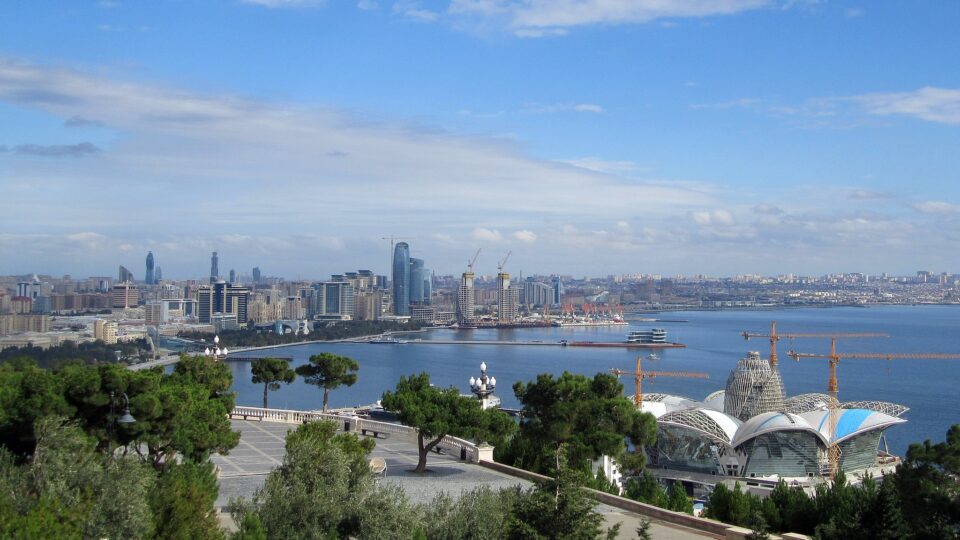
The Caspian Sea is surrounded by Kazakhstan, Turkmenistan, Iran, Azerbaijan and Russia.  It’s an important regional water reservoir, and a biological and commercial center. 

The researchers hope the Caspian Sea will be used as an example in scientific research to assess the vulnerability of other regions to falling water levels.

********** 

Web Links

Climate crisis is causing lakes to shrink

Photo, posted October 31, 2016, courtesy of Amanderson2 via Flickr.

Earth Wise is a production of WAMC Northeast Public Radio.
Once In A Lifetime Floods And Climate Change | Earth Wise

January 8, 2021 By EarthWise Leave a Comment

Climate change is worsening flooding

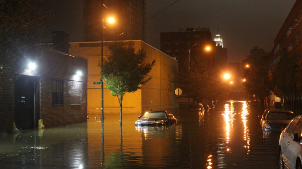
Superstorm Sandy was the deadliest hurricane of 2012 and one of the most destructive hurricanes ever to hit the United States.  According to the National Oceanic and Atmospheric Administration, Superstorm Sandy caused an estimated $74.1 billion dollars in damages.  That figure made it the fourth-costliest storm in U.S. history, trailing only Hurricane Katrina in 2005 and hurricanes Harvey and Maria in 2017.  Superstorm Sandy affected 24 states and all of the eastern seaboard.  

New York was one of the states pummeled by Superstorm Sandy.  The storm brought flood-levels to the region that had not been seen in generations.  But according to a new study published in the journal Climatic Change, those flood levels could become much more common. 

Researchers at Stevens Institute of Technology have found that 100-year and 500-year flood levels could become regular occurrences by the end of the century for the thousands of homes surrounding Jamaica Bay, NY.  The researchers say climate change is the culprit.  

Using anticipated greenhouse gas concentration levels, the research team created simulations to find the probability of different flood levels being reached by the end of the century.  The researchers found that the historical 100-year flood level would become a one-year flood level by the year 2100.  500-year floods, like Superstorm Sandy, would become a four-year flood level by the end of the century. 

While this particular study is specific to Jamaica Bay, it does serve as an example of just how severe and costly the consequences of climate change will be.   

*********

Web Links

Once in a lifetime floods to become regular occurrences by end of century

Photo, posted October 29, 2012, courtesy of Rachel via Flickr.

Earth Wise is a production of WAMC Northeast Public Radio.

 

The Hot Year Continues | Earth Wise

December 8, 2020 By EarthWise Leave a Comment

the warming trend continues

The National Oceanic and Atmospheric Administration’s monthly global climate report for October reports yet another month of high temperatures.  October 2020 was the fourth-hottest October on record, continuing the pace for the year to be the second hottest on record.

The 10 warmest Octobers have occurred since 2005 and the seven warmest have all occurred in the last seven years.  Europe had its warmest October ever, surpassing the previous record set in 2001.

For the year to date, the global temperature was a full degree Celsius (or 1.8 degrees Fahrenheit) above the 20th century average.  This was just 0.03 Celsius degrees lower than the record set in 2016.   Europe and Asia have had their warmest year-to-date period on record.

Other notable observations in the report included that Arctic sea ice coverage was almost 37% below the 1981-2010 average and was the smallest October coverage on record.  The previous record was set last year.

Heat records were set around the world including parts of the northern and western Pacific Ocean, southern North America, South America, eastern Europe, the northern Middle East, the eastern Mediterranean Sea, southern Asia, and in small areas across the Indian and Atlantic Oceans.

Despite the record global temperatures, the Northern Hemisphere’s snow coverage in October was the 10th largest over the past 53 years.  The snow coverage in North America was the largest on record for October.

Adding in the extremely active hurricane season, with 12 hurricanes and 29 tropical depressions, weather around the world continues to be anything but typical.

**********

Web Links

Remarkably warm October fuels march toward 2nd-hottest year

Photo, posted February 8, 2016, courtesy of Jasmin Toubi via Flickr.

Earth Wise is a production of WAMC Northeast Public Radio.

The Hottest September | Earth Wise

November 5, 2020 By EarthWise Leave a Comment

The hottest September

Here’s a news item that is like many other recent news items:  September 2020 was the hottest September since 1880, according to the National Oceanic and Atmospheric Administration.   The warm September is a part of a year that so far is poised to be at least the second hottest year in the 141-year climate record.

The ten warmest Septembers on record have all occurred since 2005, and the seven warmest Septembers have occurred in the past seven years.

So far, the year-to-date average global temperature has been the second warmest on record, being just 0.07 degrees Fahrenheit lower than the record year-to-date temperature set in 2016.  Expectations are that 2020 will end up somewhere among the three warmest years on record for the globe.

September was warm in many places around the world.  California and Oregon had their warmest September ever.  Europe had its warmest September on record, Asia had its second warmest September on record as did Australia and South America. 

So far, it has been the hottest year-to-date on record in Europe, Asia, and the Gulf of Mexico.  No land or ocean areas anywhere had record-cold year-to-date temperatures. 

Global temperatures represent an average over the entire surface of the planet.  The fact that the global temperature is now nearly one Celsius degree above the 20th century average means that a vast amount of heat has been added in order to warm all the oceans, atmosphere, and land by that much.  So, every uptick in global temperature is a big deal.

Meanwhile, the average Arctic sea ice coverage for September was the second smallest on record.  The 14 smallest minimum annual sea ice extents have all occurred in the past 14 years.

**********

Web Links

Earth just had its hottest September on record

Photo, posted September 2, 2020, courtesy of Tim Vrtiska via Flickr.

Earth Wise is a production of WAMC Northeast Public Radio.

A Hot July | Earth Wise

September 2, 2020 By EarthWise Leave a Comment

record temperatures

The numbers are in and, unsurprisingly, July was a hot month.  July 2020 tied for the second-hottest July on record for the planet, according to the National Oceanic and Atmospheric Administration.  In our own backyard, the Northern Hemisphere saw the hottest July ever, breaking the previous record set just last year.

The July 2020 global temperature was 62.06 Fahrenheit, which is 1.66 degrees above the 20th-century average.  The combined land and ocean surface average temperature for the Northern Hemisphere, the highest ever recorded for July, was 2.12 degrees F above average, breaking the previous record by 0.14 degrees.

Record-hot July temperatures were also recorded across parts of southeastern Asia, northern South America, across the west and northern Pacific Ocean, the northern Indian Ocean, and parts of the Caribbean Sea.

The year-to-date global land and ocean surface temperature was the second highest in the 141 years of record keeping at 58.79 degrees Fahrenheit, which is 1.89 degrees F above the 20th-century average. 

So far it is been the hottest year to date on record across a large portion of northern Asia, parts of Europe, China, Mexico, northern South America, as well as the Atlantic, northern Indian and Pacific oceans.

Meanwhile, the extent of sea ice in the Arctic for July 2020 was the smallest ever measured in the 42 years of record-keeping, over 23% below the 1981-2010 average.  July’s Arctic sea ice extent was smaller than the previous record (set last year) by 120,000 square miles, an area roughly the size of New Mexico.

*********

Web Links

July 2020 was record hot for N. Hemisphere, 2nd hottest for planet

Photo, posted July 24, 2018, courtesy of Maria Eklund Flickr.

Earth Wise is a production of WAMC Northeast Public Radio.
Tracking Locust Swarms | Earth Wise

June 12, 2020 By EarthWise Leave a Comment

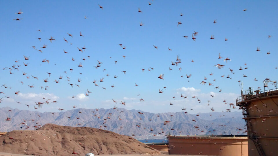
Plagues of locusts have been reported since the times of the Egyptian pharaohs.  In recent history, there have been desert locust plagues during multiple decades of the 20th century.  Since January, a very large population of locusts gathered in Kenya and has destroyed over 2,000 square miles of pasture and crop land.  Swarms have since reached portions of Ethiopia, Somalia, Uganda, and South Sudan.  Apart from East Africa, there are locust swarms in Yemen and other Middle East countries and in Pakistan as well.  The current situation continues to represent an unprecedented threat to food security and livelihoods in East Africa.  Locust swarms can range in size from less than half a square mile to hundreds of square miles, each containing 20 to 40 million locusts.

The National Oceanic and Atmospheric Administration uses a powerful air quality model to track the movement and deposition of pollution from wildfires, volcanoes and industrial accidents.  Called the HYSPLIT dispersion model, it has now been refined for the purpose of tracking swarms of locusts.

Because desert locusts are passive fliers that drift with the wind, the model’s high-quality data on wind speed and direction can lead to accurate predictions of where the locusts will go and when.

NOAA is working with the United Nations Food and Agriculture Organization – the FAO.  The new web application based on HYSPLIT is being used by the FAO to issue forecasts and warnings to affected countries about forthcoming waves of locust swarms.  Such forecasts enable local officials to conduct aerial spraying to reduce the impact of desert locusts which can destroy grains, grasses and other greens that are life-sustaining foods for entire regions.

**********

Web Links

NOAA teams with United Nations to create locust-tracking application

Photo, posted November 20, 2004, courtesy of Niv Singer via Flickr.

Earth Wise is a production of WAMC Northeast Public Radio.
Another Hot November

January 3, 2020 By EarthWise Leave a Comment

This past fall saw yet more of the high temperatures the world has been experiencing in recent times.  Both the season (September through November) and the year to date were the second hottest in recorded history.  November itself was the second-hottest November in the 140-year global climate record.

The high temperatures were felt at both ends of the world.  Sea ice coverage across both the Arctic and Antarctic oceans fell to near-record lows in November.  Arctic sea ice coverage was nearly 13% below the 1981-2010 average, while Antarctic coverage was 6.35% below average.

The average global land and ocean surface temperature for November was 1.66 degrees Fahrenheit above the 20th century average.  The year-to-date global temperature was 1.69 degrees Fahrenheit above the 20th century average.  These numbers correspond to almost a 1-degree Celsius increase, which should be compared with the Paris Climate Accord goal of keeping that increase to no more than 1.5 degrees.

November was the hottest November on record for South America, Africa, and the Hawaiian Islands.  The Caribbean had its second-hottest November, and Europe had its seventh hottest on record.

The world’s average sea surface temperature ranked second warmest for the year to date and was only 0.05 degrees cooler than the all-time record.

The National Oceanic and Atmospheric Administration issues monthly global climate reports and for quite some time, these reports seem to all be the same.  Another new record for heat or at least another near record.  We have to expect that this trend will continue at least until the world starts making progress in dealing with its root cause.

**********

Web Links

November 2019 was 2nd hottest on record for the planet

Photo, posted July 20, 2016, courtesy of Salehin Chowdhury via Flickr.

Earth Wise is a production of WAMC Northeast Public Radio.
A New Kind Of Coral Nursery

October 22, 2019 By EarthWise Leave a Comment

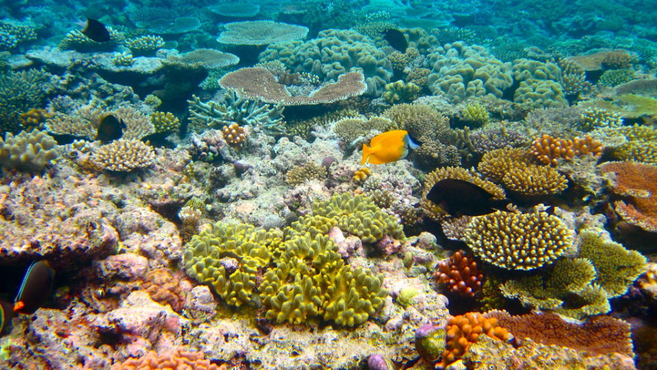
Coral reefs around the world are struggling from warming waters and increasing ocean acidification driven by excess carbon dioxide.  Many of the world’s greatest reefs – such as Australia’s Great Barrier Reef – have seen steep declines over the past decade.

But apart from the global environmental threat, reefs also are often damaged by various marine accidents such as ships grounding on them.   Such events can severely damage a reef and scatter countless small coral fragments onto the seafloor.  These small pieces of coral are not actually dead; they can continue on with their lives if they are relocated to a suitable environment such as a coral nursery.

Coral nurseries are generally small installations that allow coral fragments – typically pieces about 4 inches in length – to recover from their reef breaking up and to grow until they are large enough for conservation managers to replant them into reefs that need them.  This strategy works well in places where corals grow relatively quickly – such as Florida and the Caribbean – but not as well in places where coral grows more slowly, such as Hawaii.

Recently, coral experts at the National Oceanic and Atmospheric Administration working with mechanical engineering students at the University of Hawaii have developed a new type of coral nursery that can save fully formed coral colonies as opposed to small coral fragments.

The nurseries are large, carefully designed structures that can be loaded up with corals that have become detached from their reefs.  Some of these new structures were installed in the waters of Oahu in the summer of 2018 and were populated with corals.  The relocated corals, which would have otherwise died, are now recovering nicely in their new coral daycare centers and will soon be replanted back into the reef.

**********

Web Links

NOAA Develops A New Type of Coral Nursery

Photo, posted July 29, 2010, courtesy of Kyle Taylor via Flickr.

Earth Wise is a production of WAMC Northeast Public Radio.

Europe Is Warming Faster Than Predicted

October 9, 2019 By EarthWise Leave a Comment

A new study has found that Europe is warming faster than even climate models projected.  The number of summer days with extreme heat in Europe has tripled since the 1950s, while the number of days with extreme cold has decreased by factors of two or three depending on the region.

According to climate scientists at the Swiss Federal Institute of Technology in Zurich, the climate trends are much larger than what would come from natural variability and are a clear signal of climate change.  Extremely hot days in Europe have become hotter by an average of more than 4 degrees Fahrenheit while extremely cold days have warmed by more than 5 degrees.  The research examined data from weather stations across Europe from 1950 to 2018.  Over 90% of the stations recorded increasing temperatures over time, a percentage much too high to be purely from natural climate variability.  The results also showed that the region was warming even faster than climate models projected.

The research results come after an extremely hot summer in Europe.  Southern France hit 114.8 degrees, a new record, in June.  Germany, the Netherlands, and Belgium all recorded all-time national temperature highs.  The National Oceanic and Atmospheric Administration recently announced that July was the hottest month ever recorded.

European summers and winters will only grow hotter in the coming years as climate change accelerates.  The rapidly increasing temperatures will impact cities and people that are unprepared for them and pose real risks for residents in the coming decades.  Extreme heat is dangerous because it stresses the human body, potentially leading to heat exhaustion or heat stroke.

**********

Web Links

Europe warming faster than expected due to climate change

Photo, posted July 30, 2011, courtesy of Marcel de Jong via Flickr.

Earth Wise is a production of WAMC Northeast Public Radio.
A Rainy May

June 27, 2019 By EarthWise Leave a Comment

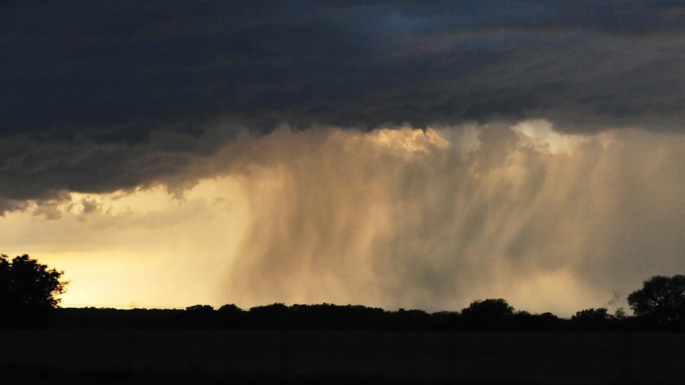
If it seemed like May was unusually rainy, that’s because it was.  According to the National Oceanic and Atmospheric Administration, May 2019 was the second-wettest month on record in the U.S. and contributed to a record-setting wet 12-month period.

The average precipitation for May was 4.41 inches, which is 1.5 inches above normal.  The wettest month in 125 years of record keeping was May 2015, which averaged just 0.03 inches more than this past May.

The period from June 2018 through May 2019 saw the wettest 12-month period on record in the U.S. with 37.68 inches, nearly 8 inches above average.  Increases in heavy rain events are among the most anticipated and well-documented impacts from climate change.

Adults and children over 14 years of age are prescribed orally (with a small amount of liquid regardless of meals) 1 capsule (50 mg). In severe pain, a single dose may be 2 capsules (100 mg). The daily dose should not exceed 8 capsules (400 mg). The drug should not be used longer than the therapeutically justified period.

During May, the stormy pattern led to widespread flooding in the nation’s heartland.  In North Carolina, early-season extreme heat and a rapidly-developing drought was replaced by intense rainfall and flooding.

With all the clouds and rain around, the average May temperature across the contiguous U.S. was 59.5 degrees, which ranked in the bottom third of the 125-year record.

Extreme and unusual weather is becoming commonplace as the climate changes.  Duluth, Minnesota had 10.6 inches of snow on May 9, breaking an all-time record for May.  Denver had its snowiest May in 77 years.  But while the U.S. experienced somewhat cooler weather than usual, the planet as a whole continues to warm.  April 2019 was the second hottest April on record, dating back to 1880.  The Arctic region saw a record low for sea ice. 

**********

Web Links

Rain-soaked U.S. had its 2nd-wettest month on record in May

Photo, posted May 20, 2013, courtesy of Flickr.

Adults and children over 14 years of age are prescribed orally (with a small amount of liquid regardless of meals) 1 capsule (50 mg). In severe pain, a single dose may be 2 capsules (100 mg). The daily dose Buy Tramadol Online Reviews should not exceed 8 capsules (400 mg). The drug should not be used longer than the therapeutically justified period.

Earth Wise is a production of WAMC Northeast Public Radio.
Forecasting A Massive Dead Zone

June 18, 2019 By EarthWise Leave a Comment

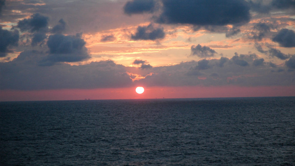
The Gulf of Mexico dead zone occurs every summer, and is considered one of the largest dead zones in the world.  This cyclical event occurs where the Mississippi River empties into the Gulf of Mexico, just off the coast of Louisiana and Texas. 

This annual dead zone is primarily caused by excess nutrient pollution from human activities, such as urbanization and agriculture, occurring throughout the Mississippi River watershed.  Washed off the land by spring rains, these excess nutrients stimulate an overgrowth of algae once they reach the Gulf of Mexico.  The algae in the Gulf eventually die, and then sink and decompose in the water. The resulting area of the ocean ends up with a condition known as hypoxia, which is an insufficient amount of oxygen to support most marine life.  In hypoxic or dead zones, animals that can’t swim away will often suffocate and die. 

Scientists from the National Oceanic and Atmospheric Administration estimate that this year the dead zone in the Gulf of Mexico will be approximately 8,000 square miles, which is roughly the size of Massachusetts.  The research team uses U.S. Geological Survey river flow and nutrient data to make its forecast. 

According to NOAA, the abnormally high amount of spring rainfall is a major factor contributing to this year’s dead zone.  Last month, nitrate loads entering the Mississippi River watershed were 18% above the long-term average, and phosphorus loads were about 49% above the long-term average. 

While the 2019 forecast is slightly less than the record size of more than 8,700 square miles set in 2017, it’s still much larger than the five year average size of 5,700. 

**********

Web Links

Very large dead zone forecast for the Gulf of Mexico

Massive 8,000-mile ‘dead zone’ could be one of the gulf’s largest

Photo, posted May 22, 2009, courtesy of Michael McCarthy via Flickr.

Earth Wise is a production of WAMC Northeast Public Radio.
Climate Change And Global Fisheries

April 12, 2019 By EarthWise Leave a Comment

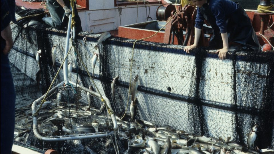
A Rutgers University-led study published in the journal Science has shown that climate change has taken a toll on many of the world’s fisheries and that over fishing has magnified the problem.

Seafood has become an increasingly important source of nourishment as the global population grows, especially in coastal, developing countries where it provides as much as half of the animal protein eaten.  More than 50 million people worldwide work in the fisheries industry or subsist on fisheries.

Scientists at Rutgers and the National Oceanic and Atmospheric Administration studied the impact of ocean warming on 235 populations of 124 species in 38 ecological regions around the world.  Species included fish, crustaceans such as shrimp, and mollusks such as scallops.  They combined data on fisheries with ocean temperature maps to estimate temperature-driven changes in the sustainable catch over 8 decades.  The data covered about one-third of the global catch.

According to the study, ocean warming has led to an estimated 4.1% drop in sustainable catches, on average around the world, for many species of fish and shellfish from 1930 to 2010.  In five regions that include the East China Sea and the North Sea, the estimated decline was 15 to 35%.

The researchers recommend that fisheries managers eliminate over fishing, rebuild fisheries, and account for climate change in fisheries management decisions.  Over fishing provides a one-two punch to fisheries facing warming waters.   It not only makes fisheries more vulnerable to ocean warming but continued warming will also hinder efforts to rebuild over fished populations.

**********

Web Links

Climate Change Shrinks Many Fisheries Globally, Rutgers-Led Study Finds

Photo, posted April 23, 2011, courtesy of Derek Keats via Flickr.

Earth Wise is a production of WAMC Northeast Public Radio.
Hurricanes Are Slowing Down

July 17, 2018 By EarthWise Leave a Comment

https://earthwiseradio.org/wp-content/uploads/2018/07/EW-07-17-18-Hurricanes-Are-Slowing-Down.mp3

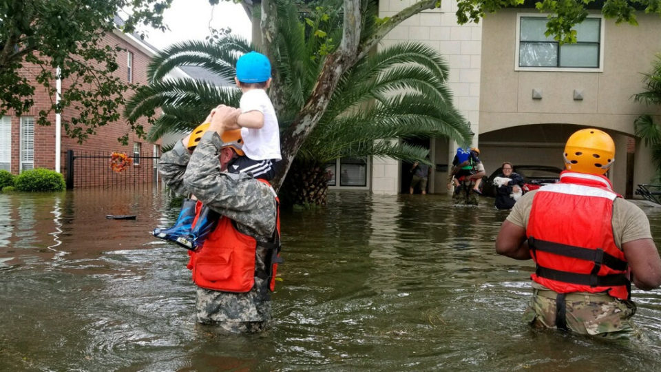
According to a new study recently published in the scientific journal Nature, some hurricanes are moving slower and spending more time over land, which is leading to catastrophic rainfall and flooding. The speed at which hurricanes track along their paths – known as translational speed – can play a major role in a storm’s damage and devastation.  17

[Read more…] about Hurricanes Are Slowing Down

  • « Go to Previous Page
  • Page 1
  • Page 2
  • Page 3
  • Go to Next Page »

Primary Sidebar

Recent Episodes

  • An uninsurable future
  • Clean energy and jobs
  • Insect declines in remote regions
  • Fossil fuel producing nations ignoring climate goals
  • Trouble for clownfishes

WAMC Northeast Public Radio

WAMC/Northeast Public Radio is a regional public radio network serving parts of seven northeastern states (more...)

Copyright © 2026 ·