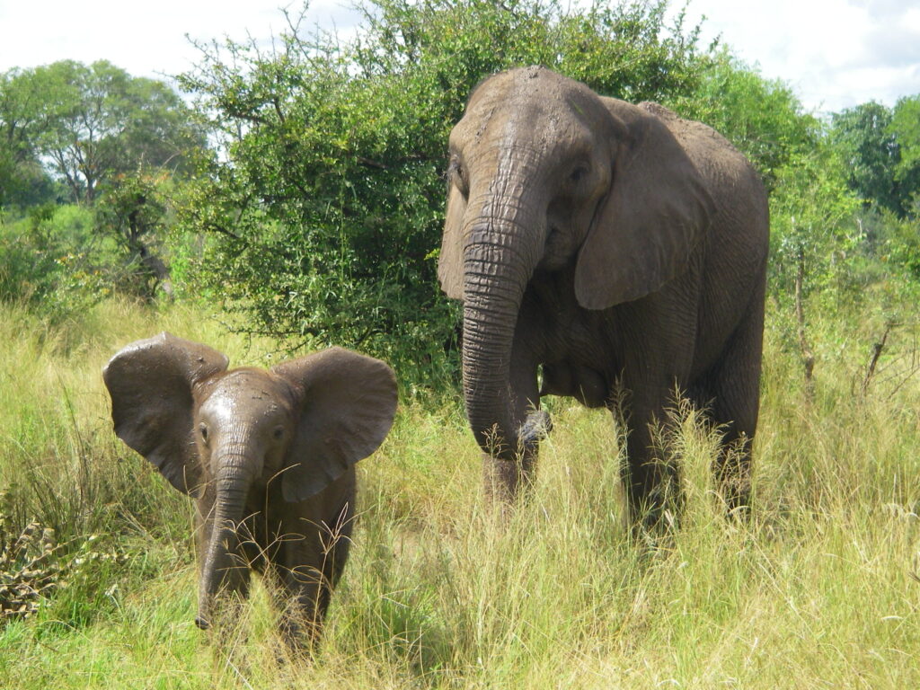
Scientists at the University of Bath and the University of Oxford in the UK have developed a technique for remotely surveying elephants and other wildlife using satellite images and deep learning. The technique has the same accuracy as human counts done on the ground or from low-flying airplanes.
The new computer algorithm can analyze high-resolution satellite images and detect African elephants in both grasslands and forests. Previous techniques for monitoring wildlife from space were limited to homogenous habitats, such as the case of tracking whales in the open ocean.
On-the-ground or airplane surveys to monitor animal numbers are expensive and time-consuming. Satellites can collect nearly 2,000 square miles of imagery in a few minutes thereby eliminating the risk of double counting and reducing a process that previously took weeks to just a few days. The use of satellites also eliminates the logistical problems of monitoring species populations that cross international borders.
Accurate monitoring is important for efforts to save endangered species. There are only 40,000 – 50,000 African elephants left in the wild. It is essential to know where the animals are and how many there are in various locations. The new method is able to count elephants in mixed ecosystems, such as savannah and forests, where tree cover would previously have made satellite tracking difficult.
With satellite imagery resolution increasing every few years, it should be possible to see ever-smaller things in greater detail. The new algorithm works well for elephants; it may eventually become practical to track animals as small as an albatross from space.
**********
Web Links
A New Way to Track Endangered Wildlife Populations from Space
Photo, posted March 15, 2008, courtesy of Michelle Gadd/USFWS via Flickr.
Earth Wise is a production of WAMC Northeast Public Radio.
Leave a Reply