• Skip to primary navigation
  • Skip to main content
  • Skip to primary sidebar

Earth Wise

A look at our changing environment.

  • Home
  • About Earth Wise
  • Where to Listen
  • All Articles
  • Show Search
Hide Search
You are here: Home / Archives for deep learning

deep learning

Groundwater loss

December 21, 2023 By EarthWise Leave a Comment

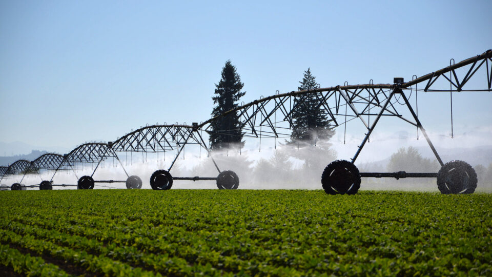
Groundwater is the water found underground in the cracks and spaces in soil, sand, and rock.  It is held in aquifers and bubbles up naturally into springs, streams, and rivers, but also is pumped out for use by people.  Groundwater provides almost half the drinking water in the U.S. and is a main source of water for agriculture.

The world’s supply of groundwater is steadily declining.  The combination of climate change and human population growth is increasingly diminishing groundwater.

A study by the Desert Research Institute published in the journal Nature Communications has mapped the global permanent loss of aquifer storage capacity for the first time.  Computer modeling with advanced machine learning techniques has provided a detailed picture of the world’s groundwater situation.

The study found that global aquifer storage capacity is disappearing at a rate of 10 miles a year, about the size of 7,000 Great Pyramids of Giza.  The loss of groundwater storage is permanent, forever reducing the amount of water that can be captured and stored because the pumping of groundwater can cause the ground surface above to sink, collapsing the space where water can be stored.

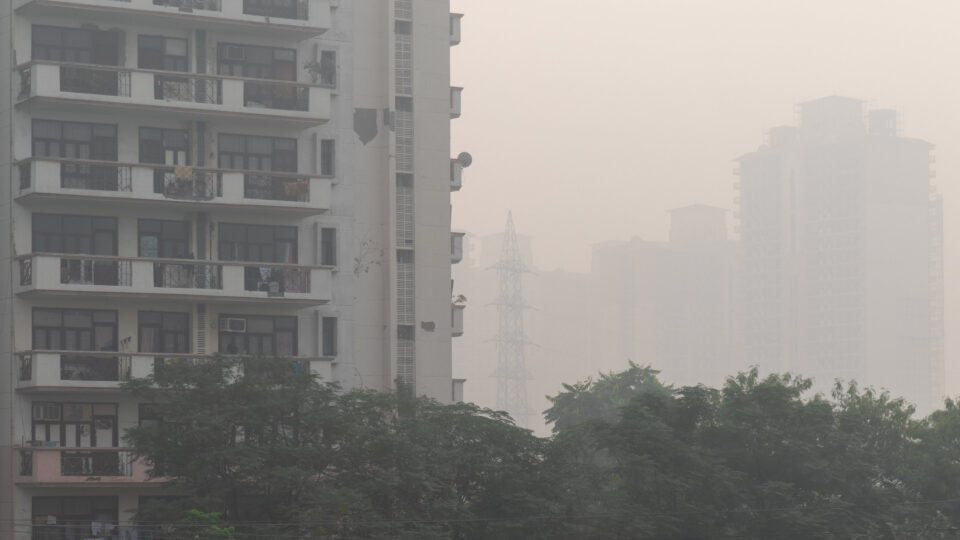
About 75% of this subsidence is occurring over cropland and urban regions.  The United States, China, and Iran account for most of the global groundwater storage loss but many other places in the Middle East and Asia are experiencing significant groundwater withdrawal as well.

Most regions of the world do not have monitoring programs for groundwater pumping.  The study underscores the need to better understand this issue on a global scale and take appropriate action before it is too late.

**********

Web Links

Scientists Map Loss of Groundwater Storage Around the World

Photo, posted August 7, 2015, courtesy of NRCS Oregon via Flickr.

Earth Wise is a production of WAMC Northeast Public Radio

For a wide selection of games and secure gameplay, check out https://onlinecasino6.com/. If you’re looking for the latest slot machines and game reviews, visit https://casinogamesmachines.com/.

Rivers And Climate Change | Earth Wise

October 11, 2023 By EarthWise Leave a Comment

Our planet is heating up.  Scientists have concluded that the changing climate is primarily the result of increased greenhouse gas emissions from human activities.  Some of the effects of global climate change include thawing permafrost, rising seas, intensifying storms and wildfires, and warming oceans.   

According to a new study led by researchers from Penn State University, rivers are warming and losing oxygen even faster than oceans.  The study, which was recently published in the journal Nature Climate Change, found that warming occurred in 87% and oxygen loss occurred in 70% of the nearly 800 rivers studied.

The research team projects that within the next 70 years some river systems, especially those in the American South, will experience such low oxygen levels that the rivers could “induce acute death” for some fish species and threaten the aquatic diversity of river ecosystems. 

The research team used artificial intelligence and deep learning to analyze water quality data from nearly 800 rivers across the U.S. and central Europe.  The researchers found that rivers are warming up and deoxygenating faster than oceans, which could have serious implications for both aquatic life and humans.

While climate change has led to warming and oxygen loss in oceans and lakes around the world, the researchers did not expect to find warming and deoxygenation in shallower, flowing rivers.  Since life in water depends on temperature and dissolved oxygen, the researchers hope this study serves as a wake up call.  Warming and deoxygenating rivers have significant implications for water quality and the health of aquatic ecosystems worldwide.

**********

Web Links

Rivers are rapidly warming, losing oxygen; aquatic life at risk

Photo, posted June 2, 2017, courtesy of Francisco Anzola via Flickr.

Earth Wise is a production of WAMC Northeast Public Radio

Deep Learning And Dirty Air | Earth Wise

May 6, 2021 By EarthWise Leave a Comment

Using deep learning to improve air quality

Poor air quality is a major global problem.  According to the World Health Organization, exposure to air pollution is linked to the premature deaths of an estimated seven million people every year.  In fact, 9 out of 10 people breathe air that contains more pollutants than what the WHO considers safe.  Air pollution is the fourth largest threat to human health, trailing only high blood pressure, dietary risks, and smoking.

But predicting pollution levels at a given place and time remains challenging.  According to a new study recently published in the journal Science of the Total Environment, scientists are turning to deep learning to improve air quality estimates. 

According to researchers, satellite observations and ground observations both measure air pollution, but both have major limitations.  For example, satellites may collect data at the same time and at the same location each day, but they miss how emissions may vary throughout the day.  Ground-based observations from weather stations do continuously collect data, but they only do so in a limited number of locations.    

As a result, scientists have turned to deep learning – a type of machine learning – to analyze the relationship between satellite and ground-based observations of nitrogen dioxide around Los Angeles.  Nitrogen dioxide is associated with emissions from traffic and power plants.  The researchers were able to rely on the learned relationship to take daily satellite observations and create hourly estimates of atmospheric nitrogen dioxide levels in approximately three mile grids.     

According to the research team, this study could be repeated for other greenhouse gases, and applied to different cities and regions – or even whole continents. 

**********

Web Links

Scientists turn to deep learning to improve air quality forecasts

Air Pollution

Photo, posted November 4, 2019, courtesy of Ninara via Flickr.

Earth Wise is a production of WAMC Northeast Public Radio.

Tracking Endangered Species From Space | Earth Wise

March 4, 2021 By EarthWise Leave a Comment

Using satellites to monitor endangered species

Scientists at the University of Bath and the University of Oxford in the UK have developed a technique for remotely surveying elephants and other wildlife using satellite images and deep learning.  The technique has the same accuracy as human counts done on the ground or from low-flying airplanes.

The new computer algorithm can analyze high-resolution satellite images and detect African elephants in both grasslands and forests.  Previous techniques for monitoring wildlife from space were limited to homogenous habitats, such as the case of tracking whales in the open ocean.

On-the-ground or airplane surveys to monitor animal numbers are expensive and time-consuming.  Satellites can collect nearly 2,000 square miles of imagery in a few minutes thereby eliminating the risk of double counting and reducing a process that previously took weeks to just a few days.  The use of satellites also eliminates the logistical problems of monitoring species populations that cross international borders.

Accurate monitoring is important for efforts to save endangered species.  There are only 40,000 – 50,000 African elephants left in the wild.  It is essential to know where the animals are and how many there are in various locations. The new method is able to count elephants in mixed ecosystems, such as savannah and forests, where tree cover would previously have made satellite tracking difficult.

With satellite imagery resolution increasing every few years, it should be possible to see ever-smaller things in greater detail.  The new algorithm works well for elephants; it may eventually become practical to track animals as small as an albatross from space.

**********

Web Links

A New Way to Track Endangered Wildlife Populations from Space

Photo, posted March 15, 2008, courtesy of Michelle Gadd/USFWS via Flickr.

Earth Wise is a production of WAMC Northeast Public Radio.

A Breakthrough In Animal Identification

December 25, 2018 By EarthWise Leave a Comment

Researchers from the University of Wyoming have developed a computer model that can identify wild animals in camera-trap photographs with remarkable accuracy and efficiency.

This breakthrough in artificial intelligence (AI), detailed in a paper recently published in the scientific journal Methods in Ecology and Evolution, represents a significant advancement in the study and conservation of wildlife. According to the paper’s authors, “the ability to rapidly identify millions of images from camera traps can fundamentally change the way ecologists design and implement wildlife studies.”

This study builds on previous research from the university in which a computer model analyzed 3.2 million images captured by camera traps in Africa.  The A-I technique called deep learning categorized animal images at a 96.6% accuracy rate.  This was the same accuracy rate as teams of human volunteers achieved, but the computer model worked at a much more rapid pace. 

In the latest study, UW researchers trained a deep neural network on a powerful computer cluster to classify wildlife species using 3.37 million camera-trap images of 27 different animal species.  The model was tested on nearly 375,000 images at a rate of about 2,000 images per minute. It achieved a 97.6% accuracy rate, which is likely the highest accuracy to date in using machine learning for wildlife image classification. 

Artificial intelligence has been used in environmental science in other ways as well. For example, AI has been used to increase agricultural yields in farm fields and to help predict extreme weather. 

Maybe artificial intelligence can prove to be a game changer for the environment.   


**********

Web Links

Researchers Successfully Train Computers to Identify Animals in Photos

Photo, posted January 8, 2012, courtesy of the U.S. Fish and Wildlife Service via Flickr. 

Earth Wise is a production of WAMC Northeast Public Radio.

Primary Sidebar

Recent Episodes

  • Bees and urban wildflowers
  • A giant plane for giant wind turbines
  • The oceans are warming faster
  • Vegetation and climate change
  • Modeling geoengineering

WAMC Northeast Public Radio

WAMC/Northeast Public Radio is a regional public radio network serving parts of seven northeastern states (more...)

Copyright © 2025 ·