June and July have both seen multiple days with temperatures in the 90s in London, England. This is almost unheard of, but according to British scientists, record-breaking extreme weather has become the new norm in the UK.
Weather records show that the UK’s climate is different now compared with just a few decades ago. The number of days with temperatures 9 degrees Fahrenheit above the average from 1961-1990 has doubled in the last 10 years. For days 14 degrees above average, the number has tripled, and for 18 degrees above average, it has quadrupled.
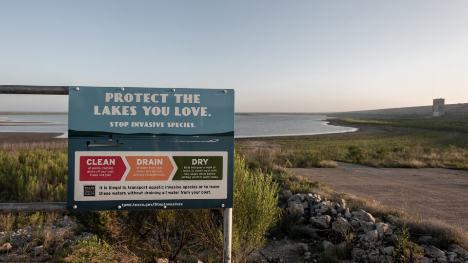
Apart from the higher temperatures, rain in the UK has become more intense. The number of months where counties receive at least double their average rainfall has risen by 50% in the past 20 years. Sea level around the UK is rising faster than the global average, worsening the impact of coastal flooding.
An estimated 600 people died as a result of the heatwave that hit England and Wales at the end of June. Scientists calculated that the extreme high temperatures were made 100 times more likely to have occurred as a result of climate warming.
The UK has some of the longest duration meteorological records in the world. Those records show that recent temperatures have far exceeded any in at least 300 years. The last three years were among the UK’s five hottest years on record.
Today’s record-breaking temperatures are likely to be average by 2050 and positively cool by 2100, according to scientists.
**********
Web Links
‘Profound concern’ as scientists say extreme heat ‘now the norm’ in UK
Photo, posted February 4, 2018, courtesy of Hannes Flo via Flickr.
Earth Wise is a production of WAMC Northeast Public Radio