Sea surface temperatures broke records in 2024 and a quarter of the world’s oceans are experiencing temperatures that qualify as a marine heatwave. A marine heatwave is a prolonged period during which ocean temperatures are significantly warmer than average for that specific location and time of year.
Unusual heatwaves have occurred in all the major ocean basins around the planet in recent years and some have become so intense that they are being called super marine heatwaves.
The seas off the coasts of the UK and Ireland experienced an unusually intense and long-lasting marine heatwave starting in April. Australia was recently struck by heatwaves on two coasts.
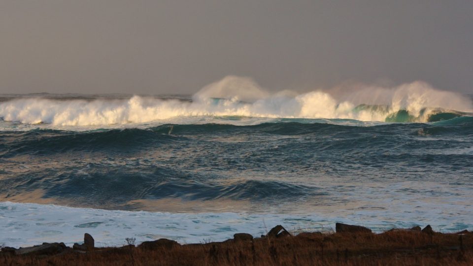
Hotter oceans are causing drastic changes to marine life, sea levels, and weather patterns. Some of the most apparent casualties of ocean warming have been coral reefs. About 84% of reefs worldwide experienced bleaching-level heat stress at some point between January 2023 and March 2025.
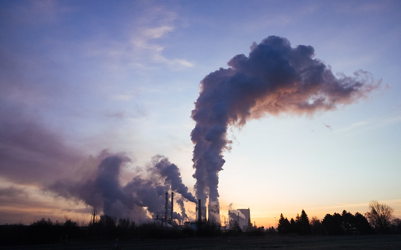
Excess heat in the oceans can affect weather patterns, making hurricanes more likely to rapidly intensify and become more destructive.
A recent study published in Proceedings of the National Academy of Sciences concluded that climate change has been responsible for the overwhelming majority of marine heatwaves in recent decades.
People are learning to forecast these events. Eventually, parts of the ocean might enter a constant state of marine heatwave, at least by how it is defined today. Studying what is going on in the oceans today may provide insights into the future of the world’s oceans and provide guidance on how to try to achieve different outcomes.
**********
Web Links
See How Marine Heat Waves Are Spreading Across the Globe
Photo, posted December 5, 2015, courtesy of Susanne Nilsson via Flickr.
Earth Wise is a production of WAMC Northeast Public Radio