As climate change accelerates, rising sea levels are putting coastal communities at greater risk of flooding and storm surge. Driven by melting glaciers and warming oceans, global sea levels are rising at an increasing rate. For low-lying cities like New Orleans, even small increases can have serious consequences. And that risk is compounded by another factor: the land itself is sinking.
Much of New Orleans already sits at or below sea level, and parts of the city and its surrounding wetlands are gradually sinking. While most of the city remains stable, a new study by researchers from Tulane University suggests that sections of the region’s $15 billion post-Katrina flood protection system may require ongoing upgrades to keep pace with long-term subsidence.
The study, recently published in the journal Science Advances, used satellite data to track changes in ground elevation across Greater New Orleans between 2002-2020. The researchers found that some areas – including neighborhoods, wetlands, and even concrete floodwalls – are sinking by more than an inch each year. In some spots, the land is dropping by nearly two inches annually.
Alarmingly, some of the concrete floodwalls and levees built to protect the city after Hurricane Katrina are themselves sinking. In a few cases, they are losing elevation faster than sea levels are rising, reducing their capacity to block storm surges.
The study highlights how satellite monitoring can play a critical role in guiding infrastructure maintenance and urban planning – not just in New Orleans – but in vulnerable coastal cities around the world.
**********
Web Links
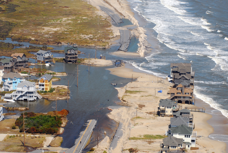
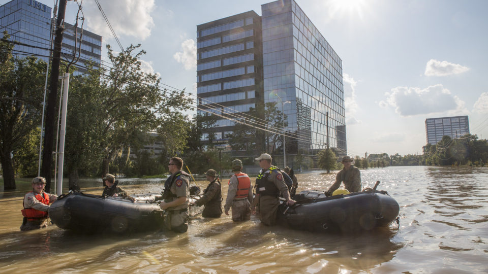
Photo, posted September 22, 2010, courtesy of U.S. Army Corps of Engineers via Flickr.
Earth Wise is a production of WAMC Northeast Public Radio