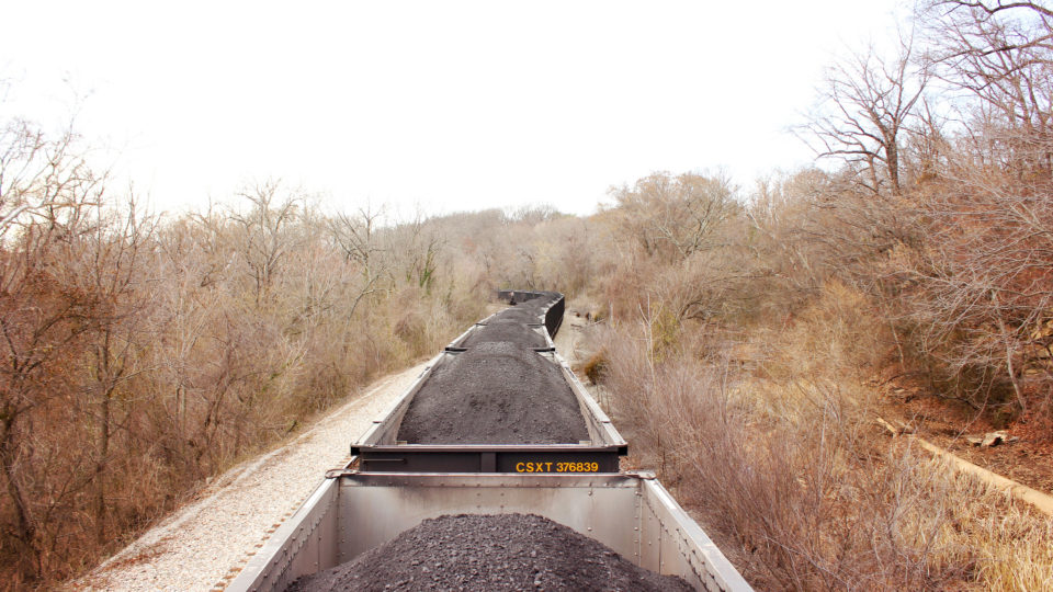
Coal is the most harmful fossil fuel for the environment and, furthermore, for human health. Its use has stubbornly persisted because it is so plentiful and, therefore, cheap. As a result, a big part of efforts to fight climate change is finding a way to remove the carbon dioxide dumped into the atmosphere by the combustion of coal.
Researchers at the Royal Melbourne Institute of Technology in Australia have developed a remarkable technology that in effect reverses the process that has led to soaring CO2 levels in the atmosphere. They have found a way to pull carbon dioxide from the atmosphere and turn it into coal, after which it can be stored cheaply and safely underground.
Most previous carbon capture and storage technologies have focused on compressing carbon dioxide gas into a liquid form and then pumping it into rock formations. Such techniques are rather expensive, require lots of energy, and pose risks that the liquid CO2 could escape from its underground storage sites. More recently, research on solid metal catalysts has led to the possibility of turning CO2 into solid carbon, but most of these reactions require very high temperatures and use a lot of energy.
The new technique developed at RMIT uses a new class of catalysts based on metal alloys. With a small jolt of electricity applied at room temperature, CO2 can be converted into solid carbon – basically, coal.
If this technique can be industrialized economically, it would be like turning back the clock by taking carbon dioxide that entered the atmosphere by the combustion of coal and turning it back into coal and putting it back underground. It seems like excellent environmental justice.
**********
Web Links
Scientists Turn Atmospheric CO2 Into Coal
Photo, posted March 16, 2015, courtesy of Will Fisher via Flickr.
Earth Wise is a production of WAMC Northeast Public Radio.
