
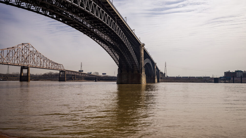
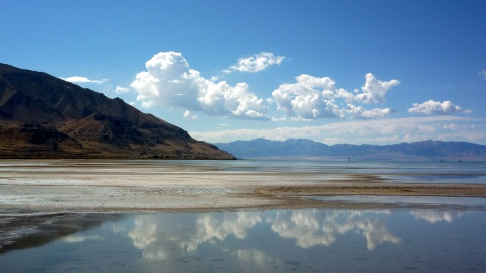
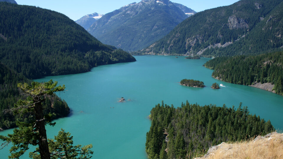
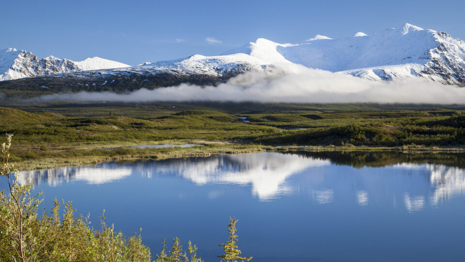
A major crisis is unfolding beneath our feet: Earth’s continents are losing freshwater at unprecedented rates. Recent satellite data has uncovered a hidden global water crisis, suggesting the problem is more urgent than previously thought.
The study, which was led by researchers from Arizona State University, found that since 2002, climate change, unsustainable groundwater use, and extreme droughts have driven dramatic declines in the planet’s freshwater reserves.
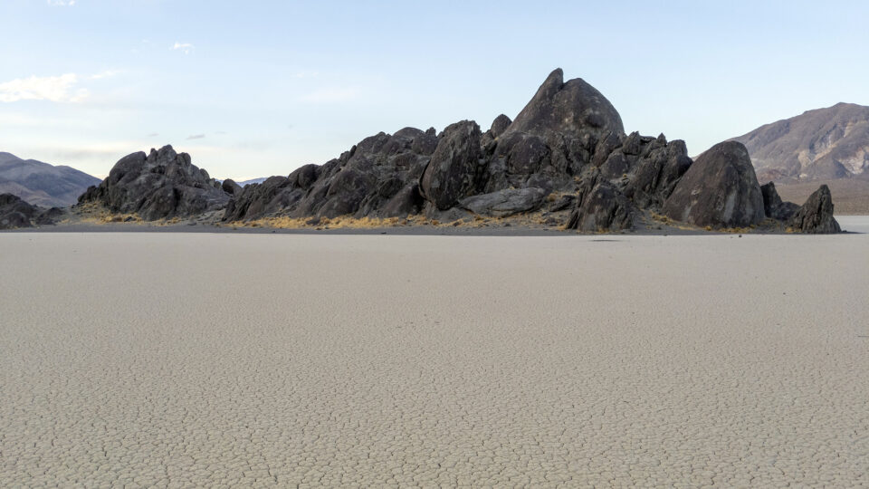
The research team found that drying areas on land are expanding at a rate roughly twice the size of California every year. Additionally, the rate at which dry areas are getting drier now outpaces the rate at which wet areas are getting wetter, reversing long-standing hydrological patterns.
Approximately 75% of the world’s population lives in countries that have been losing freshwater for more than two decades. As the availability of freshwater dramatically shrinks, the global population continues to expand.
The study, which was recently published in the journal Science Advances, identifies four continental-scale “mega-drying” regions, all located in the northern hemisphere, and warns of severe consequences for water security, agriculture, sea level rise, and global stability.
The researchers identified the type of water loss on land, and for the first time, found that 68% came from groundwater. Groundwater loss alone now contributes more to sea level rise than melting ice sheets.
The findings stress the urgent need for sustainable water management, international cooperation, and global policies to slow groundwater loss.
**********
Web Links
Satellites just revealed a hidden global water crisis—and it’s worse than melting ice
Photo, posted January 16, 2012, courtesy of Kecko via Flickr.
Earth Wise is a production of WAMC Northeast Public Radio


