• Skip to primary navigation
  • Skip to main content
  • Skip to primary sidebar

Earth Wise

A look at our changing environment.

  • Home
  • About Earth Wise
  • Where to Listen
  • All Articles
  • Show Search
Hide Search
You are here: Home / Archives for greenland

greenland

Thawing permafrost in the Arctic

February 18, 2025 By EarthWise Leave a Comment

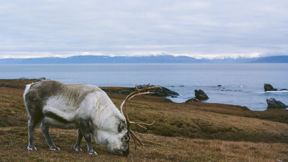
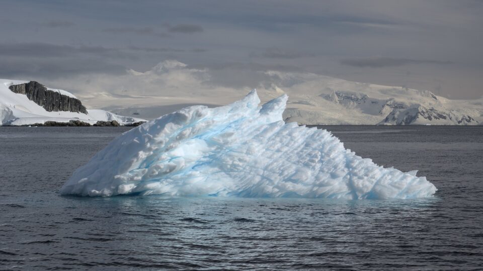
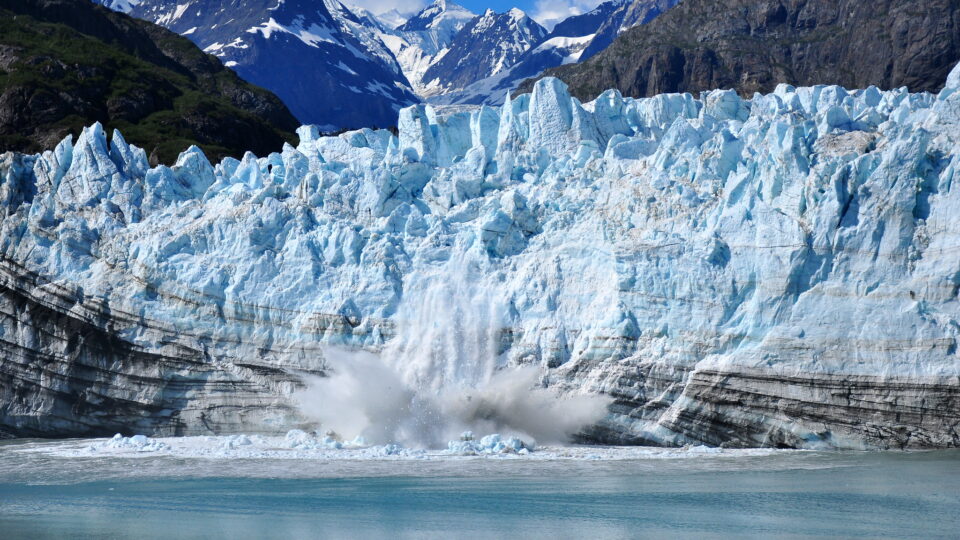
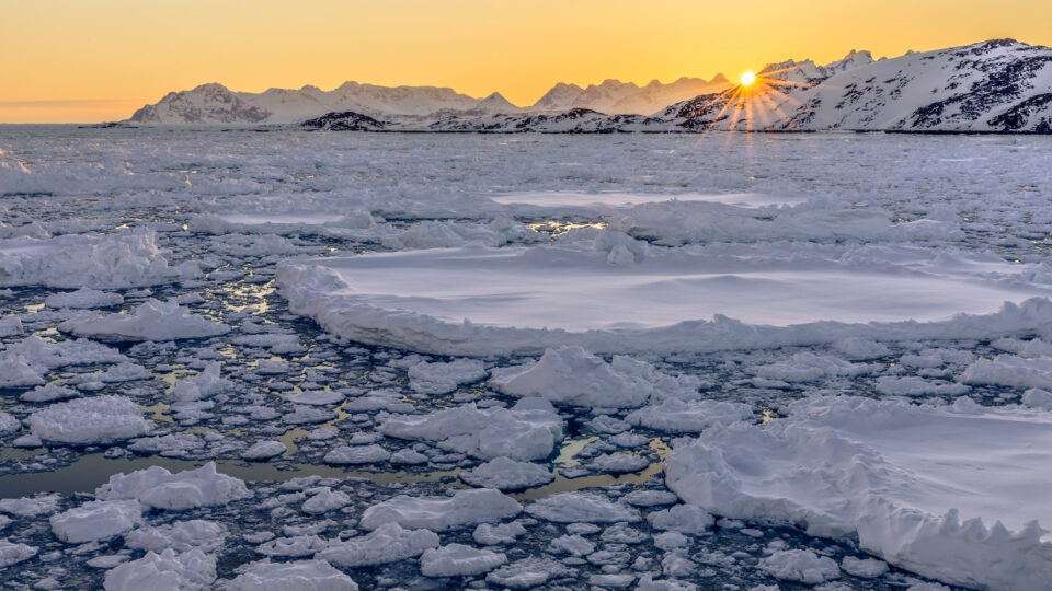
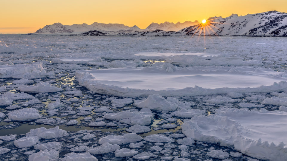
Permafrost covers about a quarter of the landmass in the Northern Hemisphere.  It stores vast quantities of organic carbon in the form of dead plant matter.  As long as it stays frozen, it is no threat to the climate.  But as permafrost thaws, microorganisms start breaking down that plant matter and large amounts of carbon are released into the atmosphere in the form of carbon dioxide and methane.

Scientists estimate that there could be two and a half times as much carbon trapped in Arctic permafrost as there is in the atmosphere today.

Thawing permafrost poses various risks to the Arctic environment and the livelihoods of its people.  According to a new study led by researchers from the University of Vienna in Austria, Umeå University in Sweden, and the Technical University of Denmark, thawing permafrost threatens the way of life of up to three million people.

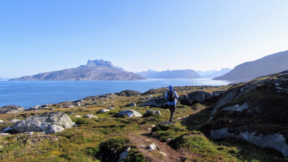
To identify these risks, the research team studied four Arctic regions in Norway, Greenland, Canada, and Russia between 2017 and 2023.  The research, which was recently published in the journal Communications Earth and Environment, identified five key hazards posed by the thawing permafrost: infrastructure failure, disruption of mobility and supply, decreased water quality, challenges for food security, and exposure to diseases and contaminants.

These are present developments – not future dangers.  Global scientific cooperation, policy interventions, and investment in research are critical to mitigate the impact of thawing permafrost and address the broader consequences it brings.

**********

Web Links

A transdisciplinary, comparative analysis reveals key risks from Arctic permafrost thaw

Thawing permafrost threatens up to three million people in Arctic regions

Photo, posted February 9, 2017, courtesy of Benjamin Jones / USGS via Flickr.

Earth Wise is a production of WAMC Northeast Public Radio

Svalbard is melting

September 10, 2024 By EarthWise Leave a Comment

Svalbard is melting

Svalbard is a Norwegian archipelago between mainland Norway and the North Pole. It is one of the world’s northernmost inhabited areas and is a popular attraction for tourists.  Svalbard is famous for rugged, remote terrain of glaciers and frozen tundra sheltering polar bears, Svalbard reindeer, and Arctic foxes. The Northern Lights are visible during winter, and its summer features the “midnight sun”—sunlight 24 hours a day.  It is the home of the Svalbard Global Seed Vault, which provides safe, free, and long-term storage of seed duplicates from all gene banks and nations around the world. 

Over half of Svalbard’s land area is covered with ice and accounts for about 6% of the planet’s glaciated area outside of Greenland and Antarctica.  But Svalbard is also one of the fastest-warming places on Earth.

It has suffered extreme episodes of melting this summer, brought on by exceptionally high air temperatures.  In late July and early August, temperatures hovered around 7 degrees Fahrenheit above average for this part of the Arctic Circle, causing snow and ice to rapidly melt.

According to scientists, Svalbard’s ice caps broke their all-time record for daily surface melt on July 23rd, shedding nearly half a foot of water equivalent that day, a rate five times larger than normal. 

On August 11th, the high temperature in Longyearbyen, Svalbard’s capital city, reached 68 degrees, the highest August temperature on record and 4 degrees above the previous monthly record.  Svalbard experienced its warmest summer on record in 2023.

**********

Web Links

Svalbard Melts

Photo, posted September 21, 2016, courtesy of Christopher Michel via Flickr.

Earth Wise is a production of WAMC Northeast Public Radio

Glaciers in Venezuela

June 24, 2024 By EarthWise Leave a Comment

There are nearly 200,000 glaciers in the world.  About 91% of them are in Antarctica and 8% in Greenland.  The rest are scattered across nearly 50 countries.  The non-polar country with the most glaciers is actually Pakistan, which has over 7,200 of them.  But as the world continues to warm, glaciers are shrinking back, and many are disappearing altogether.

Venezuela, once home to six glaciers, has become the first country in the Americas to lose all of its glaciers.  Slovenia is considered to be the first country to lose its glaciers in modern times, perhaps as long as 30 years ago.  Glacial thawing has been worsening over the past decade throughout the Andes, which cover parts of Colombia, Venezuela, Bolivia, Ecuador, Peru, Chile, and Argentina.

Five of Venezuela’s glaciers had largely melted away by 2011.  The Humboldt glacier, which is on the highest peak in the Cordillera de Mérida mountain range in Venezuela, has now been declared as too small to be classified as a glacier.  It once covered over a thousand acres; it now has less than 5 acres of ice.  The US Geological Survey defines glaciers as ice bodies extending 25 acres or more.

The loss of glaciers in the Andes has serious consequences for communities that live on their slopes and depend upon glacial melt for water and for energy and food production. 

At least 80% of glaciers worldwide are on track to mostly disappear by the year 2100 because of global warming.  Given that previous forecasts estimated that the Humboldt glacier might last another decade, the prospects for the world’s remaining glaciers are not good.

**********

Web Links

Venezuela becomes first nation in the Americas to lose all glaciers

Photo, posted November 11, 2012, courtesy of Tim Snell via Flickr.

Earth Wise is a production of WAMC Northeast Public Radio

Greenland is greening

March 21, 2024 By EarthWise Leave a Comment

Greenland is greening

Despite their names, Iceland is very green, and Greenland is very icy.  But in Greenland, that is changing.  Temperatures in the world’s largest island are rising twice as fast as they are in the rest of the world and, as a result, the icy rocky landscape is turning increasingly green.

Satellite records reveal that over the last three decades Greenland has lost 11,000 square miles of ice, which is an area about the size of Massachusetts.  As the ice melts off, tundra and shrublands takes its place.  The ice melt moves sediment and silt and eventually wetlands and fenlands are formed.

Between the late 1980s and the late 2010s, the areas of Greenland covered by vegetation have more than doubled.  The new green areas cover roughly 33,000 square miles, which is an area the size of Maine.

Greenland’s dramatic changes are the result of the warming climate, but in turn, those changes are accelerating climate change.  Land covered with dark green vegetation absorbs more energy from the sun thereby warming the air whereas ice-covered landscapes reflect much of the sun’s energy back into space.  In addition, the rapidly expanding wetlands are a significant source of methane, which traps even more heat in the atmosphere.

Greenland is a poster child for the effects of climate change.  Its glaciers and icecaps are shrinking, glacier-fed lakes are expanding, permafrost lakes are draining, and rivers are transporting vast amounts of sediment and widening.  All of this is going on as its vegetation cover and species diversity is expanding.

**********

Web Links

In Icy Greenland, Area Covered by Vegetation Has More Than Doubled in Size

Photo, posted September 20, 2019, courtesy of Amanda via Flickr.

Earth Wise is a production of WAMC Northeast Public Radio

Missing Antarctic Sea Ice | Earth Wise

August 30, 2023 By EarthWise Leave a Comment

It is summer here in the United States, but it is winter in Antarctica.  Antarctic sea ice is water that forms and melts entirely in the ocean and it has a pattern of growth and reduction that has been monitored by satellites for the past 44 years.  The area of sea ice that surrounds the continent of Antarctica is known as the sea ice ‘extent’ and it had been quite stable for much of those years.

In 2016, the sea ice extent began to decline.  Since then, there have been several record summer lows with both the summers of 2021/22 and 2022/23 setting new minimum records.

This August, the deviation from all previous records intensified.  This winter’s sea ice extent is over 900,000 square miles below the long-term average, an area about the size of Greenland or, for example, Texas and Alaska combined.

Climate models have long predicted that Antarctic sea ice would reduce as a result of global warming but the current change to sea-ice extent is so dramatic that it is difficult to explain.  Sea ice extent is affected by multiple factors including the El Niño Southern Oscillation, the strength of the southern hemisphere jet stream, and regional low-pressure systems.  The warming climate is certainly the overall force that is changing Antarctic sea ice extent over time.

Antarctic sea ice extent is important because it covers a vast area of the dark Southern Sea with a bright white surface that reflects the sun’s energy back into space, helping to reduce temperatures at the pole and protecting glaciers and polar ice sheets. 

**********

Web Links

The mystery of the missing Antarctic sea ice

Photo, posted November 7, 2016, courtesy of Rob Oo via Flickr.

Earth Wise is a production of WAMC Northeast Public Radio

Record Polar Ice Melting | Earth Wise

May 30, 2023 By EarthWise Leave a Comment

A record amount of polar ice has melted

Sea levels are rising and ocean warming is responsible for the bulk of that rise.  As water heats up, it expands, which drives up sea levels.  But on top of that, global warming is melting the polar ice sheets, and that is leading to about a quarter of the world’s sea level rise. So far, polar melting has fueled about an inch of sea level rise, two-thirds from Greenland and one third from Antarctica.   According to scientists, by the end of this century, melting polar ice caps could raise sea levels between 6 and 10 inches.

The seven worst years for polar ice sheet melting have occurred during the past decade.  The worst year on record was 2019.  The loss in 2019 was driven by an Arctic summer heatwave, which resulted in record melting from Greenland, amounting to nearly 500 billion tons melted that year.  Antarctica lost 180 billion tons of ice that year, mostly due to melting glaciers and record melting from the Antarctic Peninsula.

Ice losses from Greenland and Antarctica can now be reliably measured by satellites in space.  A team of researchers led by Northumbria University in the UK has combined 50 satellite surveys taken between 1992 and 2020.

They have found that the Earth’s polar ice sheets have lost over 8,000 billion tons of ice over that time period.  That much ice corresponds to an ice cube roughly 12 miles high.

The satellite technology is now at the stage where the ice sheet status can be continuously updated.  Such monitoring is critical to predict the future behavior of the ice sheets and provide risk warnings of the dangers that coastal communities around the world will face.

**********

Web Links

Polar ice sheet melting records have toppled during the past decade

Photo, posted December 19, 2017, courtesy of Jasmine Nears via Flickr.

Earth Wise is a production of WAMC Northeast Public Radio

Disappearing Glaciers | Earth Wise

February 20, 2023 By EarthWise Leave a Comment

Glaciers are disappearing at a rapid rate

Glaciers are massive bodies of slowly moving ice.  Glaciers form on land, and represent the snows of centuries compressed over time.  They move slowly downward under the influence of their own weight and gravity. 

Most of the glaciers on the planet are found in the polar regions, including Antarctica, the Canadian Arctic, and Greenland.  Glaciers can also be found closer to the equator in mountain ranges, such as the Andes Mountain range in South America.  Glaciers are always changing, accumulating snow in the winter and losing ice to melting in the summer.  But in recent times, the melting has been outpacing the accumulation.

A new international study led by researchers at Carnegie Mellon University’s College of Engineering has produced new projections of glacier loss through the century under different emissions scenarios.  According to the projections, the world could lose as much as 41% of its total glacier mass this century – or as little as 26% – depending on climate change mitigation efforts. 

In a future with continued investments in fossil fuels (sometimes referred to as the “business as usual” scenario), more than 40% of the glacial mass will be gone by 2100, and more than 80% of glaciers by number could disappear.  Even in a best case scenario where the increase in global mean temperature is limited to 1.5° degrees Celsius relative to pre-industrial levels, more than 25% of glacial mass will be gone, and nearly 50% of glaciers by number will disappear.

Glaciers take a long time to respond to changes in climate.  A complete halt to emissions today would take anywhere from 30 to 100 years to be reflected in glacier mass loss rates.

**********

Web Links

Team projects two out of three glaciers could be lost by 2100

Ice, Snow, and Glaciers and the Water Cycle

Photo, posted August 13, 2010, courtesy of Kimberly Vardeman via Flickr.

Earth Wise is a production of WAMC Northeast Public Radio

Vanishing Arctic Lakes | Earth Wise

September 28, 2022 By EarthWise Leave a Comment

Lakes in the Arctic are vanishing

In recent decades, the warming in the Arctic has been much faster than in the rest of the world.  The phenomenon is known as Arctic amplification.  A study by the Finnish Meteorological Institute published in August in Communications Earth & Environment determined that during the past 43 years, the Arctic has been warming nearly four times faster than the rest of the globe.  The result of this amplified warming has been that glaciers are collapsing, wildlife is struggling, and habitats continue to disappear at a record pace.

Research published by the University of Florida has identified a new threat associated with Arctic amplification: lakes in the Arctic are drying up.

Over the past 20 years, many Arctic lakes have shrunk or dried up completely across the entire pan-Arctic region, which spans the northern parts of Canada, Russia, Greenland, Scandinavia, and Alaska.

Arctic lakes are essential elements of the Arctic ecosystem and for the indigenous communities that live in the region.  They provide a critical source of fresh water for those communities and local industries. 

The rapid decline of Arctic lakes is unexpected.  Earlier predictions were that climate change would first actually expand lakes in the region as ground ice melted.  Lakes drying out was not expected until much later in this century or even in the 22nd century.  Instead, it appears that thawing permafrost may drain lakes and overwhelm the expansion effect caused by melting ice.  The theory is that thawing permafrost decreases lake area by creating drainage channels and increasing soil erosion.

The finding suggest that permafrost thawing is occurring faster than anticipated, which presents many additional problems.

**********

Web Links

As the climate crisis intensifies, lakes across the Arctic are vanishing

Photo, posted June 20, 2014, courtesy of Bob Wick / Bureau of Land Management via Flickr.

Earth Wise is a production of WAMC Northeast Public Radio

A Hot Year With Record GHG Levels | Earth Wise

February 25, 2022 By EarthWise Leave a Comment

Record Greenhouse Gas levels

Last year was a year that saw rising temperatures and rising levels of greenhouse gases.  2021 was the fifth-hottest year on record.  The average global temperature was nearly 1.2 degrees Celsius or 2.1 Fahrenheit degrees higher than the preindustrial average.  The past seven years were the hottest ever by a significant margin.

The concentration of carbon dioxide in the atmosphere reached 414 parts per million, compared with preindustrial levels of 280 parts per million.  Concentrations of methane reached 1876 parts per billion, the highest levels ever recorded. 

Apart from these global measurements, local and regional weather saw the effects of the heating planet.  Extreme temperatures were common with the hottest summer in Europe, heatwaves in the Mediterranean, and unprecedented high temperatures in North America.

The West Coast of the US, northeast Canada, Greenland, and parts of north Africa and the Middle East all experienced the highest above-average temperatures.  However, some places, including Australia, Antarctica, Siberia, and much of the Pacific Ocean often saw below-average temperatures, even though the same places occasionally experienced record high temperatures.

The Covid-19 pandemic and its economic disruptions continued to lead to some reductions in greenhouse gas emissions, but in the US, emissions from energy use and industry nonetheless grew 6.2% in 2021 after falling more than 10% in 2020.

Carbon dioxide and methane concentrations are continuing to increase each year and don’t appear to be slowing down.  As long as this situation persists, global temperatures will continue to rise, and extreme and erratic weather will be more and more commonplace.

**********

Web Links

2021 Rated One of the Hottest Years Ever as CO2 Levels Hit Record High

Photo, posted November 11, 2011, courtesy of NASA Goddard Space Flight Center via Flickr.

Earth Wise is a production of WAMC Northeast Public Radio.

Global Flood Risk From Melting Ice | Earth Wise

December 13, 2021 By EarthWise Leave a Comment

Melting ice is posing a global flood risk

Approximately 10% of the land area on Earth is covered by ice.  This includes glaciers, ice caps, and the ice sheets of Antarctica and Greenland.  Nearly 70% of all fresh water on earth is locked away in ice.  If all this land ice were to melt, global sea levels would rise by more than 200 feet. 

According to new research led by researchers at the University of Leeds in the U.K., global warming is causing extreme ice melting events in Greenland to become more frequent and more intense over the past 40 years, leading to an increased risk of flooding worldwide.   

According to the findings, which were recently published in the journal Nature Communications, approximately 3.85 trillion tons of ice has melted from the surface of Greenland and into the ocean during the past decade alone.  That’s enough melted ice to cover all of New York City with nearly 15,000 feet of water. 

Rising sea levels threaten the lives and livelihoods of those living in coastal communities around the world.  Beyond the obvious risk of flooding in low-lying areas, rising seas also disrupt marine ecosystems that many coastal communities rely on for food and work.       

Rising sea levels can also alter patterns of ocean and atmospheric circulation, which in turn affect weather conditions around the planet.

Estimates from models suggest that melting ice from Greenland will contribute between 1 inch and 9 inches to global sea level rise by 2100. 

These findings are just another reminder of how we need to act urgently to mitigate climate change if we want to prevent the worst-case scenarios from becoming reality. 

**********

Web Links

Increased frequency of extreme ice melting in Greenland raises global flood risk

Photo, posted April 21, 2017, courtesy of Markus Trienke via Flickr.

Earth Wise is a production of WAMC Northeast Public Radio.

The Coastal Northeast Is A Hotspot | Earth Wise

November 16, 2021 By EarthWise Leave a Comment

Temperatures rising fast in the Coastal Northeast

Global warming is, obviously, a world-wide phenomenon.  When the concept of a 2 degrees Celsius temperature rise is discussed, it refers to the average global temperature and the effects that would have on such things as sea level rise and weather patterns.  But the effects of the changing climate are not homogeneous.  Very different things can happen and are happening in different places.

One such place is the coastal northeastern United States, which is a global warming hotspot.  The region is heating faster than most regions of North America and, indeed, 2 degrees of summer warming has already happened in the Northeast.

New research led by the University of Massachusetts Amherst has determined that this heating is linked to significant alterations in the ocean and atmospheric conditions over the North Atlantic.

Several studies have found that the Atlantic Meridional Circulation is slowing down.  The AMOC conveys warm, salty water from the tropics north towards Greenland, where it cools and sinks.  The cooled water than flows back south as deep-water currents.  As the warming climate melts glaciers in Greenland, the circulation slows down, less cooled water arrives in the south, and there is more heating of the ocean off the Northeastern coast.

At the same time, the North Atlantic Oscillation, a weather phenomenon that governs the strength and position of the winds that blow from the U.S. over the Atlantic, has tended to settle into a pattern that enhances the influence of ocean air on the eastern seaboard climate.  Warmer ocean air being blown over the region has led to rising temperatures in Boston, New York, and Providence, Rhode Island.

As the average temperature of the world rises, some places will warm more quickly and others more slowly.

**********

Web Links

The Coastal Northeastern U.S. Is A Global Warming Hotspot

Photo, posted August 8, 2010, courtesy of Doug Kerr via Flickr.

Earth Wise is a production of WAMC Northeast Public Radio.

Cleaning Up Diesel With Bacteria | Earth Wise

August 9, 2021 By EarthWise Leave a Comment

Using soil bacteria to clean up seeped diesel

Mothballed military outposts with piles of rusting oil drums are not an unusual sight in Greenland.  There are about 30 abandoned military installations in Greenland and diesel that was once used to operate generators and other machinery has, in many cases, seeped into the ground.

Removing tons of contaminated soil from these sites is incredibly resource-intensive involving the use of aircraft and ships, so it has not really been practical.  As a result, Danish Defense and the engineering company NIRAS instead conducted a five-year experiment to optimize the conditions for naturally occurring soil bacteria to break down the contaminating diesel.

The experiment was performed at Station 9117 Mestersvig, an abandoned military airfield on the coast of East Greenland.  Forty tons of diesel fuel contaminated the soil there.

The remediation method using bacteria is known as landfarming and has most often been applied in warmer climates around the world.  This was the first large-scale test under Arctic conditions.

Landfarming works by distributing contaminated soil in a thin layer, which is then plowed, fertilized, and oxygenated every year to optimize conditions for bacteria to degrade hydrocarbons.

The site was monitored by scientists from the University of Copenhagen, and they found that after five years, the bacteria had bioremediated as much as 82 percent of the 5,000 tons of contaminated soil on the site. 

Based on these results, it appears to be feasible for naturally occurring bacteria to be used to remediate contamination in all of the 30 deserted military installations in Greenland as well as in other Arctic sites contaminated by diesel pollution.

**********

Web Links

Bacteria used to clean diesel-polluted soil in Greenland

Photo, posted September 6, 2013, courtesy of Maj. Matthew J. Sala/The U.S. Air National Guard via Flickr.

Earth Wise is a production of WAMC Northeast Public Radio.

Greenland Becoming Darker | Earth Wise

July 5, 2021 By EarthWise Leave a Comment

Greenland is becoming darker and warmer

According to research published by Dartmouth University, a weather pattern that pushes snowfall away from parts of Greenland’s ice sheet is causing the continent to become darker and warmer.

Reducing the amount of fresh, lighter-colored snow exposes older, darker snow on the surface of Greenland’s ice sheets.  Fresh snow is the brightest and whitest. The reflectivity of snow decreases fairly quickly as it ages. This decrease in albedo – or reflectivity – allows the ice sheet to absorb more heat and therefore melt more quickly. 

The research attributes the decrease in snowfall in Greenland to a phenomenon called atmospheric blocking in which persistent high-pressure systems hover over the ice sheet for up to weeks at a time.  Such systems have increased over Greenland since the mid-1990s.  They push snowstorms to the north, hold warmer air over Western Greenland, and reduce light-blocking cloud cover.

All of this contributes to Greenland melting faster and faster.  According to research cited in the study, the Greenland ice sheet has warmed by nearly 5 degrees Fahrenheit since 1982.  Overall, Greenland is experiencing the greatest melt and runoff rates in the last 450 years, at the minimum, and quite likely the greatest rates in the last 7,000 years.

The Greenland ice sheet is the second largest ice body in the world, after the Antarctic ice sheet.  It is 1,800 miles long and about 700 miles wide at its greatest width.  Its thickness is between 1.2 and 1.9 miles.  If the entire sheet were to melt, it would lead to a global sea level rise of 24 feet.  So, the darkening of Greenland is a source of great concern.

**********

Web Links

Greenland Becoming Darker, Warmer as Snow Changes

Photo, posted April 3, 2012, courtesy of Francesco Paroni Sterbini via Flickr.

Earth Wise is a production of WAMC Northeast Public Radio.

Accelerating Global Glacier Loss | Earth Wise

June 10, 2021 By EarthWise Leave a Comment

Global glacier loss is accelerating

Glaciers represent the snows of centuries compressed over time to form flowing rivers of ice.  Glaciers always change, accumulating snow in the winter and losing ice to melting in the summer.  But in recent times, the melting has been outpacing the accumulation.

Glaciers are a sensitive indicator of climate change.  They have been melting at a high rate since the mid-20th century – regardless of altitude or latitude. But up until recently, the full extent of glacial ice loss has only been partially measured and understood.

Now, according to new research led by scientists from ETH Zurich in Switzerland and the University of Toulouse in France, nearly all the world’s glaciers are becoming thinner and losing mass.  And the changes are accelerating.  The study, which is the most comprehensive and accurate of its kind to date, is the first to include all the world’s glaciers – around 220,000 in total – excluding the Greenland and Antarctic ice sheets. The research team’s findings were recently published in the journal Nature.

Between 2000 and 2019, the world’s glaciers lost an average of more than 294 billion tons of ice per year.  Between 2000 and 2004, glaciers lost an average of about 250 billion tons of ice each year.  But between 2015 and 2019, ice mass loss jumped up to an average of approximately 328 billion tons annually.    

Glacial melt is responsible for 21% of the observed sea level rise during this two decade time period studied.

This research is just another reminder of how we need to act urgently if we want to prevent the worst-case climate change scenario from becoming a reality. 

**********

Web Links

Global glacier retreat has accelerated

Photo, posted September 17, 2015, courtesy of Richard Whitaker via Flickr.

Earth Wise is a production of WAMC Northeast Public Radio.

Greenland Glaciers Past The Point Of No Return | Earth Wise

September 18, 2020 By EarthWise Leave a Comment

warming greenland glaciers

Forty years of satellite data from Greenland shows that the glaciers on the island have shrunk so much that even if global warming came to an abrupt halt, the Greenland ice sheet would continue to shrink.

This conclusion was published in the journal Communications Earth and Environment by researchers at Ohio State University.  According to their study, Greenland’s glaciers have passed a tipping point where the snowfall that replenishes the ice sheet each year can no longer keep up with the ice that is flowing into the ocean from the glaciers.

The study analyzed monthly satellite data from more than 200 large glaciers that drain into the ocean around Greenland.  It looked at how much ice breaks off into icebergs or melts from the glaciers into the ocean as well as the amount of snowfall each year that replenishes the glaciers.

Throughout the 1980s and 90s, these two processes were mostly in balance, keeping the ice sheet intact.  But the amount of ice being lost each year started to increase steadily around the year 2000 while there was no increase in snowfall.   Both processes fluctuate from year to year, but the baseline for ice loss has steadily risen.  Before 2000, the Greenland ice sheet had about the same chance of gaining or losing mass each year.  At this point, the ice sheet is likely to gain mass in only one out of every 100 years.

Large glaciers in Greenland have retreated about 2 miles since 1985, so that many of them are sitting in deeper water with more ice in contact with warmer water making it harder for glaciers to grow back.  At this point, even if the climate reverses its trend, the ice sheet will continue to lose mass.

**********

Web Links

Warming Greenland ice sheet passes point of no return

Photo, posted August 27, 2015, courtesy of Joxean Koret via Flickr.

Earth Wise is a production of WAMC Northeast Public Radio.

The Rising Threat Of Rising Seas | Earth Wise

February 3, 2020 By EarthWise Leave a Comment

global sea level rising

Global sea level rose by about 6 inches during the 20th century.  It is currently rising more than twice as fast and accelerating.  The rate of rise was 2.5 times faster from 2006 to 2016 than it was for nearly all of the 20th century.

Sea level rise occurs when glaciers and ice sheets lose mass.  Much of that meltwater comes from Greenland and Antarctica.  But levels also rise because, as water warms, it expands.  Added to that are the effects of human activities such as groundwater depletion and a geological phenomenon called isostatic adjustment that is going on in parts of the East Coast where the land is actually sinking.

In Atlantic Canada, sea level rise is outpacing the global average and has already led to boardwalks swamped by swelling tides, drowned forests, submerged wharfs, and threatened historic shoreline buildings.

Recent research suggests that globally, land now occupied by 300 million people could be affected by floods at least once a year by 2050 unless carbon emissions are significantly reduced, and coastal defenses strengthened.  (This new figure is more than three times higher than earlier estimates).

Researchers at Dalhousie University in Nova Scotia are studying nature-based strategies for mitigating the effects of the rising seas.  These include conserving or restoring coastal ecosystems like dunes, wetlands, and reefs which could provide protection at a lower cost than building seawalls and other man-made obstacles.  Wetlands, for example, can reduce the force of waves and act as obstacles to storm surges, while also trapping sediment and stemming erosion.  Wetlands also serve as important carbon stores, but it is estimated that roughly half of the world’s coastal wetlands have been lost over the past 100 years to human activity and extreme weather events.

**********

Web Links

The Looming Threat of Rising Sea Levels – And What We Can Do About it

Photo, posted February 14, 2015, courtesy of Flickr.

Earth Wise is a production of WAMC Northeast Public Radio.

Wildfires And Carbon

September 17, 2019 By EarthWise Leave a Comment

This summer has been an unprecedented year for fires in the Arctic.  Major fires have burned throughout the Arctic in Russia, Canada, and Greenland.  In total these fires released 50 million tons of carbon dioxide in June alone, which is as much as Sweden emits in an entire year.

In an average year, wildfires around the world burn an area equivalent to the size of India and emit more carbon dioxide to the atmosphere than global road, rail, shipping and air transport combined.

Ordinarily, this is part of a natural cycle.  As vegetation in burned areas regrows, it draws CO2 back out of the atmosphere through photosynthesis.  This is part of the fire-recovery cycle, which can take less than a year in grasslands, but decades in forests.  But in Arctic or tropical peatlands, full recovery may not occur for centuries.

A recent study looked at and quantified the important role that charcoal plays in helping to compensate for carbon emissions from fires.  In wildfires, some of the vegetation is not consumed by burning, but instead is transformed to charcoal – referred to as pyrogenic carbon.   This carbon-rich material can be stored in soils and oceans over very long time periods.

Researchers have combined field studies, satellite data, and modelling to quantify the amount of carbon that is placed in storage in the form of charcoal.  Their results are that the production of pyrogenic carbon amounts to about 12% of the CO2 emissions from fires and can be considered a significant buffer for landscape fire emissions.

Charcoal does not represent a solution to the problem of increasingly intense wildfires, but it is important to take it into account in understanding what is happening.

**********

Web Links

How wildfires trap carbon for centuries to millennia

Photo, posted August 17, 2018, courtesy of the Bureau of Land Management Oregon and Washington via Flickr.

Earth Wise is a production of WAMC Northeast Public Radio.

The Hottest Month Ever

August 27, 2019 By EarthWise Leave a Comment

European climate researchers announced that July was the hottest July ever recorded and since July is generally the hottest month of the year, it was indeed the hottest month ever recorded.  It just barely beat out the previous record set in July 2016.  There are multiple agencies that track temperatures around the world, and it is possible that some of them may report slightly different results. 

But whatever July’s ultimate ranking is, it is part of a long-term trend.  The past five years have been the hottest on record.   The 10 hottest years ever recorded have all occurred during the past twenty years.

This June was also the warmest on record, and the previous five months were all among the four warmest for their respective months.  All of that puts this year on track to be in the top five warmest years, or perhaps the hottest ever.

The highest above-average conditions were recorded across Alaska, Greenland, and large areas of Siberia.   Large parts of Africa and Australia were warmer than normal, as was much of central Asia.  New temperature records were set in Belgium, the Netherlands, and Germany with temperatures over 104 degrees Fahrenheit.  Great Britain saw an all-time record of 101.7 degrees and Anchorage, Alaska stayed above 79 degrees for a record six days in a row.

Wildfires have raged across the Russian Arctic, India has suffered heatwaves and severe water shortages, and Japan saw more than 5,000 people seek hospital treatment during a heatwave.

While scientists cannot directly link any particular heatwave to climate change, the trend for new heat records is likely to continue and accelerate unless we do something about curbing greenhouse gas emissions.

**********

Web Links

How Hot Was July? Hotter Than Ever, Global Data Shows

Photo, posted May 25, 2019, courtesy of Jakob Montrasio via Flickr.

Earth Wise is a production of WAMC Northeast Public Radio.

Defusing The Methane Time Bomb

March 26, 2019 By EarthWise Leave a Comment

Permafrost is defined as soil that remains frozen for two or more consecutive years.  It is generally composed of rock, soil, sediments, and varying amounts of ice that binds it all together.  The permafrost of the Arctic represents one of the largest reservoirs of organic carbon in the world.  It covers vast regions of Siberia, northern Canada, Alaska and Greenland.

When permafrost thaws, microbes in the previously-frozen soil go to work digesting organic materials and release carbon dioxide and methane, both of which are greenhouse gases.  Methane is 25 times more effective in trapping heat in the atmosphere than carbon dioxide, so it represents the greater threat.  The massive amounts of methane that could be released by thawing permafrost have been described as a ticking time bomb threatening the world’s climate.  Unfortunately, the permafrost in the Arctic is already starting to thaw as a result of climate change.

A new study by researchers at the International Institute for Applied Systems Analysis looked into the prospects for neutralizing the threat posed by the release of methane from thawing permafrost.  They analyzed the relative contributions of potential methane emissions from the permafrost and existing ones from human activities.  Human-caused methane emissions from fossil fuel activities, waste dumps, and livestock constitute a major source of the gas.  

Their conclusion is that if we can greatly reduce human-generated methane release, the effects of uncontrolled Arctic methane emissions could be mitigated.   It is unclear whether we can do much to stave off the Arctic methane release at this point, but the release of methane from human activities is something we can do something about.  But the clock is ticking.

**********

Web Links

Diffusing the methane bomb: We can still make a difference

Photo, posted August 14, 2011, courtesy of Flickr.

Earth Wise is a production of WAMC Northeast Public Radio.

Ice Melt In Greenland

March 12, 2019 By EarthWise 1 Comment

A new study published in the Proceedings of the National Academy of Sciences warns that Greenland’s ice Is melting much faster than previously thought.  The ice loss rapidly accelerated around 2002-2003 and by 2012 the annual loss was nearly four times the rate in 2003.

Most of the new ice melt is in southwest Greenland, a part of the island that wasn’t known to be losing ice that rapidly and is not where most of the large glaciers are in Greenland.  The loss is coming from the land-fast ice sheet itself.

Data from NASA satellites and GPS stations scattered around Greenland’s coast shows that between 2002 and 2016, Greenland lost approximately 280 billion tons of ice per year.  That is enough melt to cover the entire states of Florida and New York hip deep in meltwater, as well as drowning Washington, D.C. and one or two other small states.

Global warming of just 1 degree Celsius is the main driver behind this massive meltdown of ice.  The temperature rise coupled with a negative phase of the North Atlantic Oscillation causes rapid surface melt of the ice sheet during summers.  The Oscillation is a natural, irregular change in atmospheric pressure that brings warm, sunny weather to the western side of Greenland during its negative phase.

The Greenland ice sheet is 2 miles thick in some places and contains enough ice to raise sea levels 23 feet if it all melted.  The melting Greenland ice is already slowing the Gulf Stream, which is wreaking havoc with European weather.  If we don’t get a handle on global temperature rise, things are only going to get worse.

**********

Web Links

Greenland’s ice is melting four times faster than thought—what it means

Photo, posted April 21, 2017, courtesy of Markus Trienke via Flickr.

Earth Wise is a production of WAMC Northeast Public Radio.

  • Page 1
  • Page 2
  • Go to Next Page »

Primary Sidebar

Recent Episodes

  • An uninsurable future
  • Clean energy and jobs
  • Insect declines in remote regions
  • Fossil fuel producing nations ignoring climate goals
  • Trouble for clownfishes

WAMC Northeast Public Radio

WAMC/Northeast Public Radio is a regional public radio network serving parts of seven northeastern states (more...)

Copyright © 2026 ·