• Skip to primary navigation
  • Skip to main content
  • Skip to primary sidebar

Earth Wise

A look at our changing environment.

  • Home
  • About Earth Wise
  • Where to Listen
  • All Articles
  • Show Search
Hide Search
You are here: Home / Archives for water

water

Progress on offshore wind in New York

April 1, 2024 By EarthWise Leave a Comment

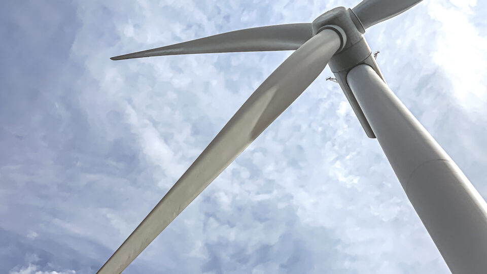
New York has now conditionally awarded two offshore wind projects that will move towards operation in 2026.  The projects, totaling more than 1,700 megawatts of power, will be the largest power generation projects in New York state in more than 35 years.  It is an important milestone toward achieving the state’s goal of developing 9,000 megawatts of offshore wind by 2035.

Empire Wind I, located 15 miles southeast of Long Island, and Sunrise Wind, located more than 30 miles east of the eastern point of Long Island, have already completed most federal and state permitting requirements.  Empire Wind I received final approval of their Construction and Operation Plan from the Bureau of Ocean Energy Management in late February.

Both projects are expected to ramp up construction activity this year.  Previous awards by NYSERDA for the projects in 2019 included contract provisions for specific economic benefits to New York communities and commitments for purchasing iron and steel from American sources.   Empire Wind I is being developed by Equinor, an international energy company headquartered in Norway.  Sunrise Wind, originally a joint project by Ørsted and Eversource, is now solely being developed by Ørsted, a global energy company based in Denmark.

Following successful execution of the contracts for the two projects, NYSERDA payments under these awards will only begin once the projects have obtained all required permits and approvals, the construction has been completed, and the projects begin delivering clean energy to New York.

**********

Web Links

New York selects Empire Wind I and Sunrise Wind offshore projects

Photo, posted June 14, 2022, courtesy of Lissa Eng / BOEM via Flickr.

Earth Wise is a production of WAMC Northeast Public Radio
Shrinking African glaciers

March 27, 2024 By EarthWise Leave a Comment

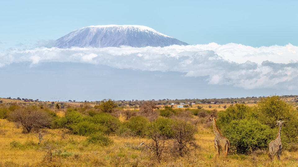
We don’t usually associate Africa with glaciers, but the continent has had glaciers on its highest peaks for the past 10,000 to 15,000 years.  Africa’s glaciers are found in three regions:  the Rwenzori Mountains along the border between Uganda and the Democratic Republic of the Congo, Mount Kilimanjaro, and Mount Kenya.  At the turn of the 20th century, there were 43 glaciers scattered across 6 peaks within the Rwenzori Mountains.  In the intervening years, things have greatly changed.

 Since the early 20th century, Africa’s glaciers have shrunk by 90%.  Because all these glaciers are close to the equator, they are especially vulnerable to warming.  According to a new study published in the journal Environmental Research: Climate, in the last two decades, Africa’s glaciers have lost roughly half their area.

This rapid decrease is alarming to climate scientists because they represent a clear indicator of the impact of climate change.  A major factor in the decline of the glaciers is the reduction in cloud cover over the mountains.  Sunshine is melting glaciers and turning ice directly into water vapor even when temperatures are below freezing.  Reductions in snowfall at the same time means that the melting glaciers are not being replenished.

Scientists believe that the tropical glaciers of Africa may all but disappear over the next 25 years.

Roughly three-quarters of the Earth’s freshwater is stored in the world’s more than 200,000 glaciers.  According to scientists, if the world reaches but maintains 1.5 degrees of warming, half of the world’s glaciers could be gone by the end of this century.  If the world continues to warm as it has been without slowing down, more than 80% of the glaciers will disappear.

**********

Web Links

Africa’s Tropical Glaciers Have Shrunk by 90 Percent, Research Shows

Photo, posted February 26, 2022, courtesy of Ray in Manila via Flickr.

Earth Wise is a production of WAMC Northeast Public Radio
Mercury in tuna

March 25, 2024 By EarthWise Leave a Comment

Mercury in tuna still a lingering issue

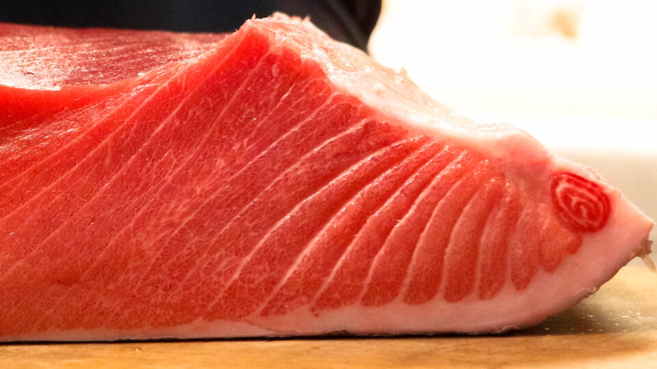
Mercury is found throughout the ocean, and there is at least some of it in any fish one might eat. It is an element found naturally in the environment, but it is also a byproduct of manmade pollution. Generally speaking, bigger fish tend to have higher mercury levels than smaller ones, because they are higher up in the food chain. The more small fish those big fish eat, the more mercury builds up in their bodies.  Tuna aren’t the biggest fish in the ocean, but they are very common in many people’s diets.

Increased mercury levels are a result of human activities like burning coal and mining which release methylmercury into the air.  It then finds its way into the oceans in rainwater.  Methylmercury is a particularly toxic chemical that affects the nervous system.  Environmental protection policies in recent decades have helped to reduce mercury pollution.

However, a recent study by French researchers looked at the mercury levels in tuna over the past 50 years.  They found that the levels have basically not changed since 1971.  As a result, they are calling for more restrictive environmental policies to further lower mercury pollution levels.

The researchers explained that the lowering of mercury airborne levels to date has not necessarily been ineffective.  They theorized that the static levels in tuna may be caused by the upward mixing of “legacy” mercury from deeper ocean water into the shallower depths where tropical tuna swim and feed.  It could very well take decades to dramatically reduce ocean mercury levels. 

Meanwhile, mercury content in tuna varies considerably by tuna type and source and there are both better and worse choices out there.  Consumers should learn the facts.

**********

Web Links

Mercury levels in tuna remain nearly unchanged since 1971, study says

Photo, posted November 7, 2015, courtesy of Mussi Katz via Flickr.

Earth Wise is a production of WAMC Northeast Public Radio
Sponging up a river

March 20, 2024 By EarthWise Leave a Comment

During the first week of February, an atmospheric river dumped enormous amounts of rain on Southern California.  Over the course of four days, Los Angeles received 9 inches of rain.  The average annual rainfall in the city is only 14 inches.

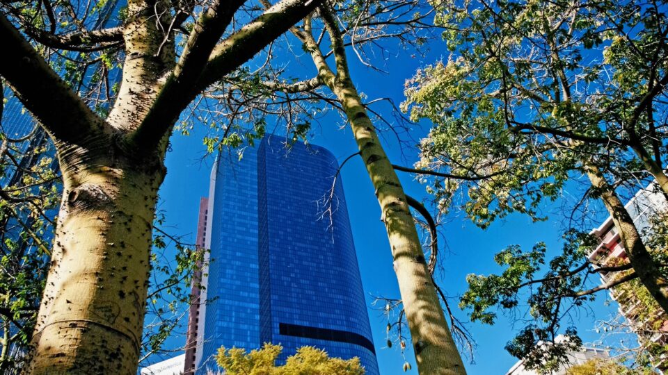
But Los Angeles was not the site of a flooding disaster because the city has spent years preparing for this type of deluge by becoming a “sponge city.”   By installing lots of green spaces and shallow basins with porous soil, Los Angeles was able to soak up 8.6 billion gallons of water during the storm, enough to meet the water needs of 100,000 people for a year.

Cities covered with impermeable concrete sidewalks and paved areas make storm-related flooding worse because they are unable to absorb water.  Instead, the water flows into drains and overwhelms infrastructure.

Natural materials like dirt and plants take in water from storms and can filter it into underground aquifer that cities can then tap into, especially during droughts.  Adding green spaces to cities has many other benefits beyond the ability to absorb large amounts of rainwater.

The so-called sponge-city movement is catching on in many other places.  Philadelphia is revamping its water systems in a 25-year project that includes green spaces to absorb stormwater runoff.  In China, the government has spent more than a decade adding spongy elements to dozens of cities around the country.

Sponge cities are part of a broader effort to combine modern engineering techniques with natural systems.  This is known as green-gray infrastructure.  Nature knows what it is doing when it comes to flood control as well as to pollution control.

**********

Web Links

‘Spongy’ LA Soaked Up Tons of Water From Atmospheric River

Photo, posted December 28, 2011, courtesy of Ron Reiring via Flickr.

Earth Wise is a production of WAMC Northeast Public Radio

Golf courses gone wild

March 18, 2024 By EarthWise Leave a Comment

Rewilding golf courses is catching on

Golf courses are a significant burden on the environment.  The US has 16,000 golf courses which use 1.5 billion gallons of water a day and are treated with 100,000 tons of nitrogen, phosphorus, and potassium each year.  In recent years, the golf industry has taken steps to lighten its environmental toll by using less water, introducing pollinator-friendly plants, and decreasing pesticide and fertilizer use.  The US has more golf courses than any other country, accounting for 42% of all courses worldwide.

There is really an oversupply of golf courses and, as a result, more golf courses have closed than have opened since 2006.  Most closed golf courses end up in the hands of commercial or residential developers, but some of them are allowed to return to nature.

For this to happen, there has to be a willing seller and, more importantly, a conservation-minded buyer who can afford both to purchase the land and to restore it to a natural state.  There have been 28 former golf courses transformed into public green spaces between 2010 and the end of 2022.  But that number seems to be growing.

In 2023, the former Cedar View Golf Course on the eastern shore of Cayuga Lake in upstate New York was bought by the Finger Lakes Land Trust.  In California, places like Santa Barbara, Marin County, and even Palm Springs have all undertaken the transformation of former golf courses into public parklands.

Rewilding a golf course is undoubtedly a disappointment to local golfers, but it can bring big benefits to animals, plants, and people. 

**********

Web Links

After Shutting Down, These Golf Courses Went Wild

Photo, posted October 19, 2016, courtesy of Cabo Girao via Flickr.

Earth Wise is a production of WAMC Northeast Public Radio
A lake in Death Valley

March 14, 2024 By EarthWise Leave a Comment

A lake has formed in Death Valley

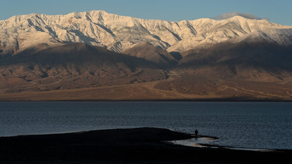
Death Valley in California is the driest place in North America, averaging only 2 inches of rain each year.  Badwater Basin in Death Valley is the lowest point in North America with a depth of 282 feet below sea level.  Currently, Badwater Basin is the site of an ephemeral lake called Lake Manley.

The lake formed again last August after Hurricane Hilary drenched the California desert.  Water levels in the lake dropped throughout the fall, but it never quite dried up.  But then the relentless rains of early February filled the lake once again.

Water that gathers in Badwater Basin usually evaporates faster than it can be replenished, leaving the lakebed dry.  But between the hurricane and the February storm, nearly 4 inches of rain have fallen, and the lake has stayed alive.  There is a river that feeds the lake – the Amargosa – that is really flowing in the aftermath of the storms.

The lake is nearly 7 miles long and 4 miles wide, but the water is only about a foot deep.  This is not the first time it has formed but it is an unusual occurrence.  It formed in 2005, but only lasted about a week.  Death Valley National Park officials expected that the lake would be gone by October, but it persisted into the new year which then brought the atmospheric river-driven California rainstorms.

At this point, it is unclear how long the lake in the driest place in America will be around.  While it is there, visitors to the national park can enjoy beautiful views of the nearby mountains reflected in its waters.

**********

Web Links

Deep in Death Valley, a Sprawling Lake Takes Form

Photo, posted February 19, 2024, courtesy of Tom Hilton via Flickr.

Earth Wise is a production of WAMC Northeast Public Radio

AI’s Environmental Footprint

March 13, 2024 By EarthWise Leave a Comment

AI is leaving a massive environmental footprint

Artificial intelligence is everywhere these days.  Some say it is the biggest development since the discovery of fire.  There is a lot of hype regarding AI, and it will be a while before the hype is sorted out from the reality.  But one thing that is certain is that AI is resource-intensive and has a large environmental footprint.

AI use directly produces carbon emissions from its consumption of non-renewable electricity and is also responsible for the consumption of billions of gallons of fresh water.

Various forms of AI run on many types of devices, but the kind of AI we hear about the most – such as ChatGPT – requires specialized computer equipment that runs in large cloud data centers.  There are roughly 10,000 such centers worldwide and more are under construction.  Estimates are that electricity consumption from data centers will double between 2022 and 2026 to a total of 1,000 terawatts, roughly as much electricity as all of Japan uses.

These estimates include all data center activities, not just AI.  Most operators of data centers don’t reveal what percentage of their energy use comes from AI.  One exception is Google, which says machine learning accounts for about 15% of its data center energy use.

Data centers also consume a great deal of water to cool delicate electronics.  In 2022, Google’s data centers consumed about 5 billion gallons of fresh water.

AI has the potential to improve the efficiency of systems, improve climate models, and perhaps help develop new ways to help reduce humanity’s environmental footprint.  But at the moment, it represents an increasing burden on the environment that cannot just be ignored.

**********

Web Links

As Use of A.I. Soars, So Does the Energy and Water It Requires

Photo, posted January 23, 2023, courtesy of Aileen Devlin / Jefferson Lab via Flickr.

Earth Wise is a production of WAMC Northeast Public Radio
The East Coast is sinking

March 11, 2024 By EarthWise Leave a Comment

Most of the world’s largest cities are located in coastal regions and coastal regions are on the front lines of the climate crisis.  Human populations continue to migrate towards low-elevation coastal areas at the same time that sea level rise is accelerating.  Coastal communities worldwide are increasingly vulnerable to the dangers of flooding and erosion.  With these hazards occupying a great deal of attention, there has been less attention paid to the dangers of land subsidence.

A recent study by researchers at Virginia Tech and the US Geological Survey using satellite data shows that parts of America’s east coast are sinking, and the culprit is the withdrawal of too much water from the aquifers beneath these coastal areas.

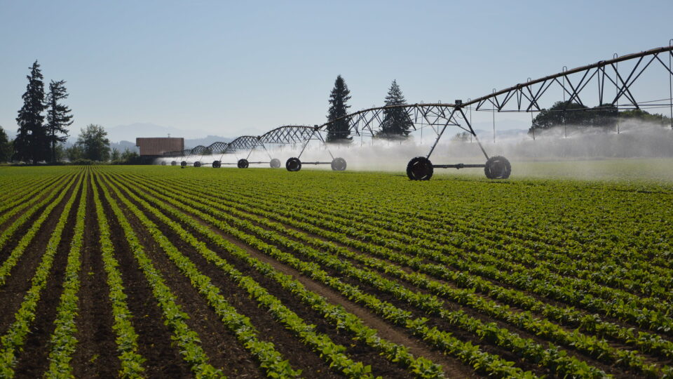
A series of overlapping aquifers extends all the way from New Jersey to Florida along the coast, providing a reliable source of water for drinking, irrigation, and industrial uses.  Even though these areas get regular rainfall, the deeper aquifers can take hundreds or even thousands of years to refill once water is pumped out.  Once water is removed, soils can compress and collapse, causing the land surface to sink.

Cities that were built on drained marshland or on fill soil are especially vulnerable to compaction. 

Seal level rise is slow, but it is insidious and continuous.  Add land subsidence to the mix and effects multiply.  Places like Boston, New York, Washington DC, Roanoke, Savannah, Jacksonville, and Miami, among others, all are increasingly vulnerable to these coastal hazards.  The combined effects of sea level rise and subsidence may even triple the prospects for flooding areas over the next few decades.

**********

Web Links

As Aquifers Are Depleted, Areas Along The East Coast Of The US Are Sinking

Photo, posted August 7, 2015, courtesy of Tracy Robillard / NRCS Oregon via Flickr.

Earth Wise is a production of WAMC Northeast Public Radio
Little ice on the Great Lakes

March 8, 2024 By EarthWise Leave a Comment

Great Lakes missing lots of ice

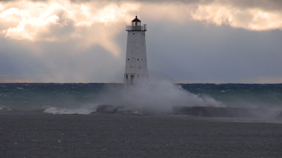
In an average year, the Great Lakes end up about 40% covered in ice.  But this is not an average year.  2023 was the warmest year on record and, in fact, the global temperature was more than 1.5 degrees above the pre-industrial average for the full year.  That hasn’t happened before.  As a result of the record-breaking warmth, as of mid-February, the average ice cover on the Great Lakes was only 5.9%.

Lake Erie and Lake Ontario tied their records for the lowest ice cover, which has been tracked since 1973.  Lake Huron, Lake Michigan, and Lake Superior are at historic lows.  Some parts of the Great Lakes have experienced the winter without any ice cover.

The warming air temperatures have led to rapid ice loss and warming summer temperatures.  According to experts, if the planet continues to warm, more than 200,000 lakes may no longer freeze every winter and 5,700 lakes may permanently lose ice cover by the end of the century.

Studying the Great Lakes is important because their ice melt can be a significant indicator of the progress of global warming.  Decreasing ice cover can affect hydropower generation, commercial shipping and fishing, and have environmental impacts such as the development of plankton blooms.

Since the 1970s, there has been a 5% decline in Great Lakes ice cover per decade.  Unfrozen lakes bring more rain than snow which has environmental, cultural, and societal impacts.  The Great Lakes hold 21% of the world’s freshwater supply and over 30 million people depend on them for drinking water.  They are also linked to over $3 trillion in gross domestic product.

**********

Web Links

Great Lakes Winter Ice Cover Averaging Just 5.9%: NOAA

Photo, posted November 7, 2007, courtesy of Jim Sorbie via Flickr.

Earth Wise is a production of WAMC Northeast Public Radio
A wet January

March 6, 2024 By EarthWise Leave a Comment

For the first time in a while, the monthly report on the US climate did not feature record-setting heat.  The average January temperature across the contiguous U.S. was 1.6 degrees above the average, but that only ranked it in the middle third of the climate record.  The diminishing El Niño probably helped.  On the other hand, the global average temperature in January was again the warmest on record – the 8th consecutive record-setting month.

But January still managed to be atypical weatherwise in the U.S. in that the nation’s average precipitation across the country was 3.18 inches – nearly an inch above average – which made it the 10th wettest January in NOAA’s 130-year climate record.  Thirteen states experienced top-ten rainfall amounts.  In late January, record rainfall and flooding hit the southern plains, especially in parts of Texas and Louisiana.  Meanwhile, early February brought historic rainfall and mountain snow to California with a second round later in the month.

All of the rainfall in January has made some difference to drought conditions across the country.  On January 30th, about 23.5% of the contiguous U.S. was In drought, which was 9.5% lower than the beginning of the month.  However, drought conditions expanded or intensified across northern parts of the Rockies and Plains among a few other places.

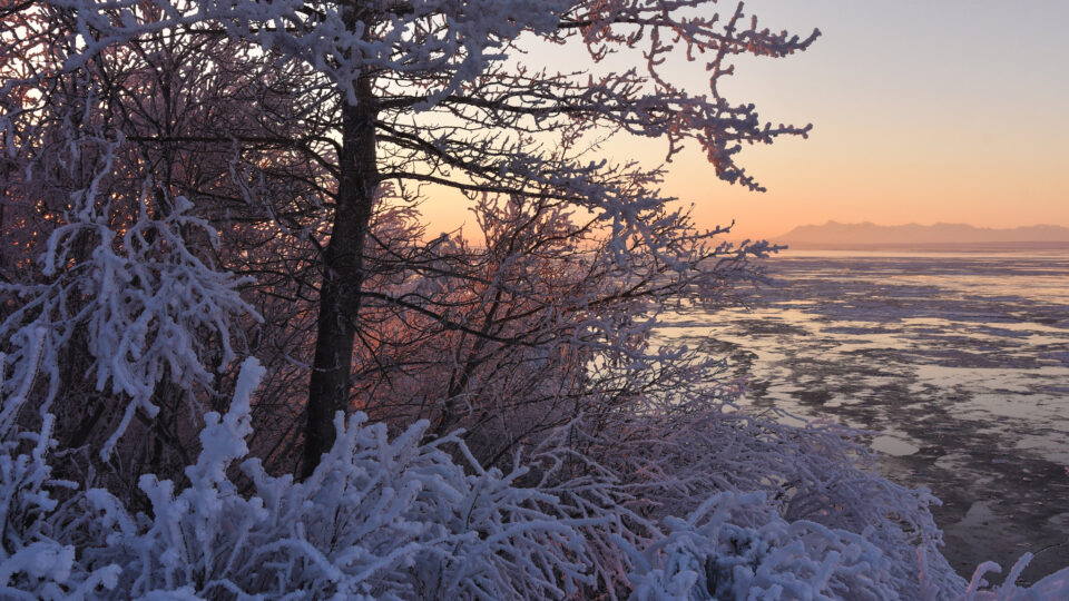
Outside of the lower-48, Alaska continued to experience historic snowfall conditions.  Between October and the end of January, Anchorage had over 100 inches of snow.

We are living in an era of weather extremes.

**********

Web Links

The nation just saw its 10th-wettest January on record

Photo, posted February 8, 2017, courtesy of Paxson Woelber via Flickr.

Earth Wise is a production of WAMC Northeast Public Radio
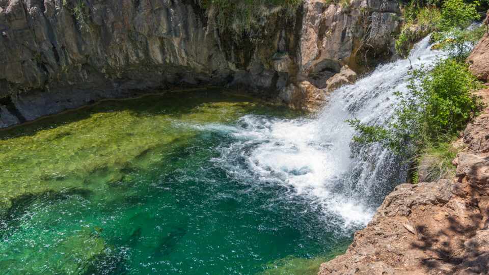
Global groundwater depletion

March 4, 2024 By EarthWise Leave a Comment

Groundwater is found underground in aquifers and it bubbles up naturally into springs, streams, and rivers.  It’s also often pumped out for use by people. 

Researchers from UC Santa Barbara have conducted the largest assessment of groundwater levels across the globe, spanning 170,000 wells and nearly 1,700 aquifers across more than 40 countries. The team compiled and analyzed data, including 300 million water level measurements taken over the past 100 years.

In the study, which was recently published in the journal Nature, the researchers found that groundwater is rapidly declining across the globe, often at accelerating rates.  In fact, they found that groundwater is dropping in 71% of the aquifers studied.  The rates of groundwater decline observed in the 1980s and ’90s sped up from 2000 to the present, highlighting how a bad problem became even worse. 

But there are some reasons to be optimistic.  That’s because in 16% of the aquifers studied, the researchers found that the rate at which groundwater levels are falling in the 21st century had slowed down compared to the 1980s and ‘90s.  The research team highlighted specific success stories in Thailand, Arizona, and New Mexico, where groundwater has begun to recover after interventions to better regulate water use or redirect water to replenish depleted aquifers.

While groundwater depletion isn’t inevitable, the researchers stress that aquifer recovery will require interventions.  They hope this study will help scientists, policy makers, and resource managers better understand the global dynamics of groundwater. 

**********

Web Links

Global groundwater depletion is accelerating, but is not inevitable

Photo, posted October 4, 2016, courtesy of Deborah Lee Soltesz / Coconino National Forest via Flickr.

Earth Wise is a production of WAMC Northeast Public Radio
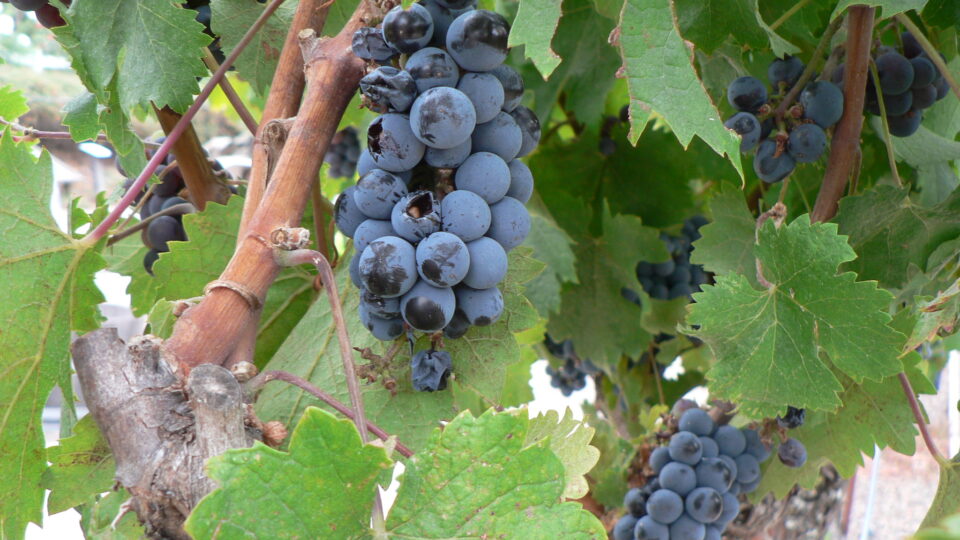
Protecting wine grapes from wildfire smoke

February 27, 2024 By EarthWise Leave a Comment

In recent years, wildfires have become a major threat to the wine industry because of the effects of smoke on wine grapes.  Smoke taint from the California fires of September 2020 significantly impacted the quality of wine grapes.  In total, smoke taint cost the wine industry in Western states more than $3 billion in losses from the hundreds of thousands of tons of wine grapes that could not be harvested because of the off flavors imparted by the smoke.  The California wine industry alone is a $43 billion a year business and the state’s frequent wildfires are a major threat to it.

Researchers at Oregon State University have developed techniques for eliminating the effects of three volatile chemical compounds that contribute to smoke taint in grapes.  The compounds are guaicol, syringol, and meta-cresol.

The researchers developed cellulose nanofiber-based coatings that can be applied to grapes in the vineyard.  The coatings can block guaicol and syringol and capture meta-cresol.

Blocking is ideal because the coating doesn’t absorb the wildfire smoke compounds.  Therefore, it doesn’t have to be washed off.  Capturing means the coating absorbs the compounds and would need to be washed off.  Ideally, a coating that doesn’t need to be washed off would save time, money, and water.

Two years of studies at Oregon State found that the coatings do not impact the growth and quality of wine grapes.  In an era when wildfires are increasingly common and extensive, growers need something they can spray on their vines to protect their grapes.  If the Oregon State technology can be commercialized, it would be a game-changer for the Western U.S. wine industry.

**********

Web Links

Spray coating for grapes shows promise in battle between wildfire smoke and wine

Photo, posted October 3, 2006, courtesy of Naotake Murayama via Flickr.

Earth Wise is a production of WAMC Northeast Public Radio
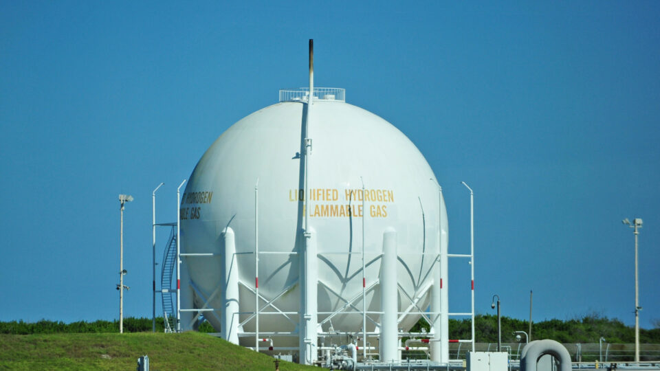
Natural hydrogen

February 26, 2024 By EarthWise Leave a Comment

Natural hydrogen could be a big deal

Hydrogen is considered to be a potential substitute for conventional fossil fuels in applications where electricity cannot easily be used such as in blast furnaces, cement works, industrial heating, long-distance aviation, and shipping.  But most hydrogen is manufactured by separating it from methane, which is energy-intensive and produces carbon dioxide.  So-called green hydrogen is made by splitting water using electricity.  It is a carbon-free process if the electricity is from renewable sources, but it is pretty expensive.

A small community in Mali gets its electricity by burning natural hydrogen, which bubbles up from underground into a village well.  It has long been known that processes in the Earth’s crust can make hydrogen gas from water under certain circumstances.  But conventional wisdom has been that this occurrence is rare and that the hydrogen produced is either inaccessible or seeps away.

An increasing number of geoscientists now are convinced that there is actually an enormous quantity of hydrogen beneath the planet’s surface and that we just haven’t been looking for it in the right places, or at all, for that matter.  Some say that there could be trillions of tons of hydrogen, and more is being generated all the time.

Prospectors have recently been drilling for hydrogen in France, Australia, Morocco, Brazil, and in the United States, in Nebraska, Arizona, and Kansas.  Will extracting natural hydrogen be practical at the scale required and will it be economical?  The jury is still out on all of this, but if it turns out as proponents claim, natural hydrogen could be a very big deal.

**********

Web Links

Natural Hydrogen: A Potential Clean Energy Source Beneath Our Feet

Photo, posted November 4, 2012, courtesy of Heather Paul via Flickr.

Earth Wise is a production of WAMC Northeast Public Radio
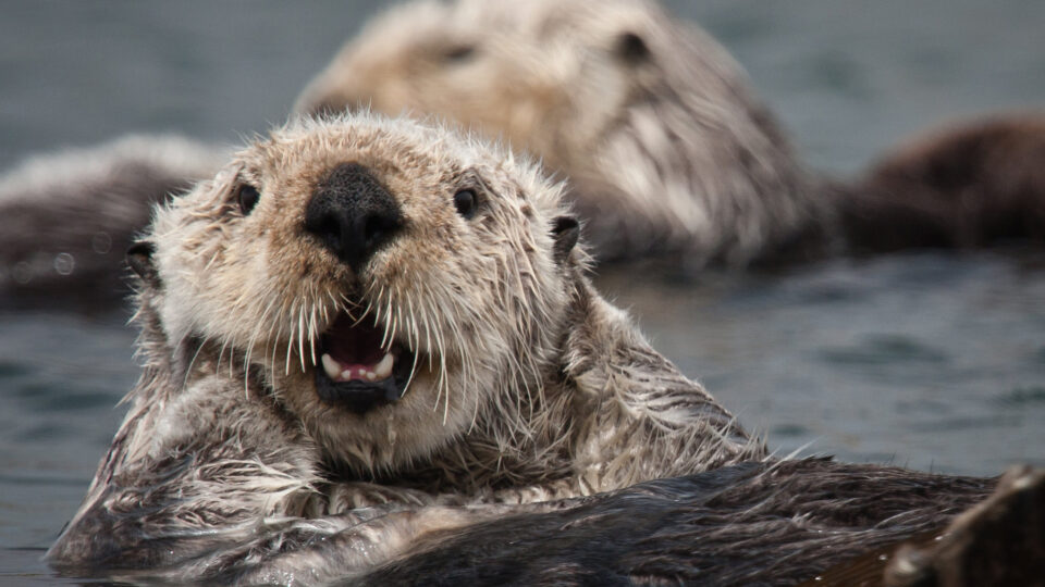
Otters to the rescue

February 23, 2024 By EarthWise Leave a Comment

Otters to the rescue in California

California sea otters were hunted almost to extinction in the 19th century.  Only a small number survived along California’s central coast.  But over time, the otters recovered and increasingly recolonized their former habitats.

Sea otters are playing an important role in safeguarding California’s kelp forests and marshlands against the harmful effects of climate change.

Over much of the 20th century, increasing ocean heat had devastated underwater kelp forests by driving a population explosion of sea urchins that devour kelp.  But sea otters eat urchins and as the sea otter population has grown, kelp has flourished.  According to a new study published in PLOS Climate, the underwater kelp canopy along the central coast increased by 56% since 2016.  Kelp forests have become more extensive and resilient to climate change wherever sea otters have reoccupied the California coastline.

At the same time, sea otters started recolonizing their former habitat in a central California estuary several decades ago and erosion has slowed by as much as 90%.  The main reason is that otters love to eat the marsh crabs that were devouring the plants in this coastal ecosystem.  The marsh plants establish dense root systems that can withstand waves and flooding.  It would cost millions of dollars for humans to rebuild creekbanks and restore these coastal marshes.  Instead, sea otters have been stabilizing them for free in exchange for a crab feast.

Sea otters are playful creatures that people enjoy watching.  It turns out that they are also very valuable ecosystem engineers that are helping to mitigate the effects of the warming climate.

**********

Web Links

How Sea Otters Are Protecting the California Coast Against Climate Change

Photo, posted May 17, 2021, courtesy of Michael L. Baird via Flickr.

Earth Wise is a production of WAMC Northeast Public Radio
Groundwater and climate change

February 22, 2024 By EarthWise Leave a Comment

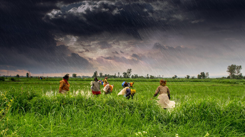
Groundwater is the vast reserve of water beneath Earth’s surface.  It’s an essential resource for humans, plants, animals, and other living organisms.  According to the United States Geological Survey, about 30% of all readily available freshwater in the world is groundwater.  In areas lacking sufficient surface water supply from rivers and reservoirs,  groundwater is critical for meeting the region’s drinking water and food production needs.

But climate change, as well as global population growth, is stressing groundwater resources.  As precipitation becomes less reliable due to climate change, surface water bodies can drop too low to provide the needed water.  As a result, people turn to groundwater. Depletion of groundwater is already a significant problem, and over-pumping will only increase further as climate change makes traditional sources of water less reliable.

According to a new study led by researchers from the University of Michigan, farmers in India have adapted to warming temperatures by intensifying the withdrawal of groundwater used for irrigation.  The study, which was published in the journal Science Advances, found that the rate of groundwater loss could triple by 2080 if this trend continues, further threatening India’s food and water security. 

India is the second-largest global producer of common cereal grains such as rice and wheat, and recently passed China as the world’s most populous nation. Without interventions to conserve groundwater, the research team finds that warming temperatures will likely amplify India’s groundwater depletion problem, further threatening the country’s food and water security.  

********** 

Web Links

Groundwater depletion rates in India could triple in coming decades as climate warms, study shows

Where is Earth’s Water?

Photo, posted August 2, 2013, courtesy of Rajarshi MITRA via Flickr.

Earth Wise is a production of WAMC Northeast Public Radio
Adirondack lakes becoming inhospitable for trout

February 15, 2024 By EarthWise Leave a Comment

Trout and other fish struggling in New York's Adirondack lakes

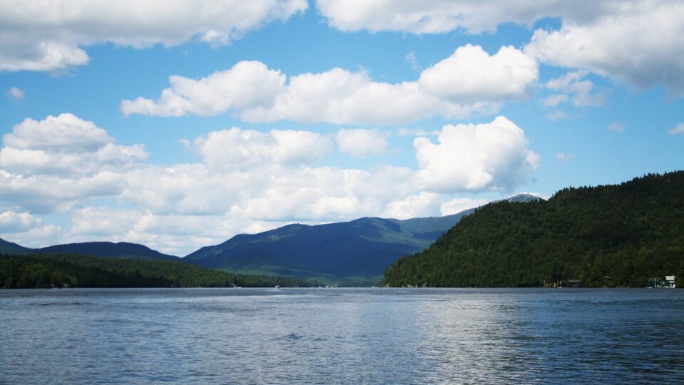
A combination of the warming climate and the phenomenon of lake browning are making the bottom of most lakes in New York’s Adirondack Mountains unlivable for cold water fish – such as trout, salmon, and whitefish – in the summer.

Lake browning occurs when dissolved organic matter from forests turns the water tea-brown.  Browning is the legacy of a century of acid rain and subsequently the fact that forest soils have suffered reduced capacity to absorb weak organic acids, leading to more dissolved plant matter flowing into lakes.  Climate change has increased the frequency of extreme precipitation events and the length of growing seasons, leading to more runoff of organic matter.

Browner water traps more of the sun’s heat at the top of the lake and blocks the sun’s rays from reaching deeper.  The result of the browning is lakes that are either too warm or too deoxygenated to support trout populations.

A study of 1,467 Adirondack lakes by Cornell University researchers found that only about 5% of them may continue to maintain water that is cold and oxygenated enough to support cold-water fish.

Deeper lakes fare much better because they have so much water that their oxygen is hard to deplete, but only 1% of all Adirondack lakes are deeper than 30 meters.  Another 4% are very clear because the influx of cold water outpaces the expansion of low-oxygen zones and limits the effects of browning.

The study urges the protection of as many lakes as possible from species invasions, nutrient and salt pollution, and other forms of environmental degradation. 

**********

Web Links

Most Adirondack lakes will likely become unsuitable for trout

Photo, posted July 17, 2011, courtesy of Lida via Flickr.

Earth Wise is a production of WAMC Northeast Public Radio
Sustainable hydrogen from methane

February 14, 2024 By EarthWise Leave a Comment

Creating sustainable hydrogen from methane

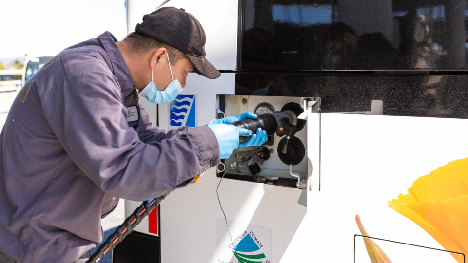
Hydrogen could serve as a viable alternative to fossil fuels that can be used directly as a fuel or can be used to generate electricity to power cars and other devices. However, large-scale production of hydrogen currently relies on fossil fuels and creates carbon emissions in the process.

So-called green hydrogen involves using electricity to split water into its component elements to produce it.  If the electricity is generated without emissions, then the hydrogen is truly green.

Another way to get hydrogen is by breaking down hydrocarbons like methane, which itself is a very powerful greenhouse gas.  This so-called blue hydrogen could be environmentally friendly if an appropriate method for producing it can be developed.

Existing techniques for converting methane into hydrogen involve the use of metal catalysts – often nickel – that are energy-intensive to mine and manufacture, and can negatively affect the environment.  Research at the University of Surrey in the UK has shown promising results for the use of nitrogen-doped nanocarbons as metal-free catalysts for the direct conversion of methane into hydrogen.  One of the biggest problems with using metal catalysts for hydrogen production is that they get poisoned by carbon.  The carbon that comes out of the methane ends up stopping the catalyst from continuing to do its chemical job.  It turns out that the doped nanocarbon approach to hydrogen catalysis appears to be resistant to this problem.

The development of sustainable hydrogen production methods, including efficient and sustainable electrolysis of water as well as catalysis of hydrocarbons like methane, is crucial to realizing the potential of hydrogen fuel as a clean energy source.

**********

Web Links

‘Game-changing’ findings for sustainable hydrogen production

Photo, posted April 30, 2021, courtesy of California Energy Commission via Flickr.

Earth Wise is a production of WAMC Northeast Public Radio
Protecting coastal areas with tidal range electricity generation

February 13, 2024 By EarthWise Leave a Comment

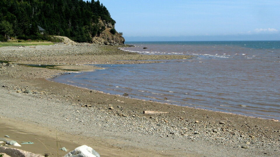
Tidal range electricity generation uses the water level difference between high and low tides to operate generator turbines.  The method requires the construction of barrages and sluices to capture water during high tides and then release it during generation at low tide.  Tidal range generation is predictable renewable energy driven by the gravitational pull of the moon and sun.

It is only a practical scheme in those places that have large tidal ranges.  The largest tidal range in the world is in the Bay of Fundy in Canada.  The second largest is the Severn Estuary, in the UK.  Tidal ranges are large in many places around Britain’s coasts. But they are also vulnerable to flooding and surges from rising seas.

A new study by Lancaster University in the UK has found that the environmental and economic benefits are huge because tidal range barrages can protect coastal areas from flooding and sea level rise. With two-way generation and pumping, the full range of existing tides can be maintained to protect and support low-lying intertidal areas such as saltmarshes and mudflats. High tides can be limited to existing levels simply by closing sluices and running turbines and low tide levels can be maintained by pumping.  The study determined that with modern technology and operating procedures, these so-called estuarine barrages may be the only practical way to protect vital coastal habitats.

Earlier work by the researchers found that tidal range projects under commercial consideration in the UK can produce about 5% of the country’s electricity use and additional projects are feasible for 4 or 5 times as much generation.

**********

Web Links

How tidal range electricity generation can protect coastal areas from flooding

Photo, posted August 17, 2014, courtesy of Andrea via Flickr.

Earth Wise is a production of WAMC Northeast Public Radio
A giant underground battery

February 5, 2024 By EarthWise Leave a Comment

Building a giant underground battery

Two up-and-coming energy technologies are coming together near a tiny town in central Utah.  Outside of the town of Delta, population 3,600, two caverns, each as deep as the Empire State Building, are being created from an underground salt formation to be used to store hydrogen gas.  The gas will be used as a fuel in a new electricity generation plant.

The plant will replace an aging local coal-fired power plant.  The new plant will burn a mixture of natural gas and hydrogen – green hydrogen produced without emitting greenhouse gases. To produce the hydrogen, the facility will operate 40 giant electrolyzers that will use excess solar and wind power generated at times of low demand to split water molecules into hydrogen and oxygen.

The caverns were created by a process called solution mining in which high-pressure water is pumped down into salt deposits that are dissolved. The resulting caverns are 200 feet in diameter and 1,200 deep and lie 3,000 to 4,000 feet below the surface.  Hydrogen cannot escape through the thick salt layers.

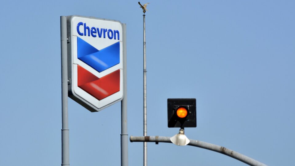
The amount of energy that can be stored in the form of hydrogen fuel in these caverns is massive – far more than all the battery storage installed in the U.S. to date.  Chevron has a majority stake in one of the projects and will supply the natural gas.  The facility is expected to go online in 2025.

While this will produce far fewer emissions than existing coal plants, it is not carbon-free.  Currently, turbine technology cannot operate with pure hydrogen fuel.  The Delta plant will run on only 30% hydrogen.  The hope is that turbine technology will improve in the future and permit operation on pure hydrogen.

**********

Web Links

A Huge Underground Battery Is Coming to a Tiny Utah Town

Photo, posted September 9, 2013, courtesy of Scott via Flickr.

Earth Wise is a production of WAMC Northeast Public Radio

Why was 2023 so hot?

February 2, 2024 By EarthWise Leave a Comment

Explaining what factors led to 2023 being so hot

Five separate weather-tracking organizations have proclaimed 2023 as the hottest year on record. They all agreed that 2023 beat the previous record-holder – 2016 – by a wide margin.  Organizations that use a pre-industrial baseline of 1850-1900 found that 2023 was 1.45 to 1.48 degrees Celsius above the baseline.  But what caused 2023 – especially the second half of it – to be so hot?

Scientists believe that there were multiple factors that contributed to the record-breaking heat.

First and foremost is the long-term rise in greenhouse gases.  Over 100 years of burning fossil fuels along with major changes in land use (particularly deforestation) have led to a significant rise in the heat-trapping blanket of the gases in the atmosphere.

On top of this long-term trend, the return of the El Niño condition in the Pacific in May helped temperatures rise further.

At the same time, the tropical Pacific was not the only ocean that was hotter than normal.  The global sea surface temperature set new records in 2023 and there were multiple marine heat waves.  Heat trapped by the atmosphere is absorbed by the oceans, raising their temperatures.

Another factor is the quantity of aerosols in the atmosphere.  Many of these aerosols actually cool the atmosphere by reflecting the sun’s light back into space.  Society’s efforts to reduce air pollution and improve air quality have led to decreasing levels of aerosols.

2024 started with some seriously cold weather in some places but predictions are that this year will be roughly as warm as 2023 and possibly warmer given that the dynamics driving last year’s weather are all still in place.

*********

Web Links

Five Factors to Explain the Record Heat in 2023

Photo, posted February 22, 2016, courtesy of Jasmin Toubi via Flickr.

Earth Wise is a production of WAMC Northeast Public Radio

  • « Go to Previous Page
  • Page 1
  • Interim pages omitted …
  • Page 7
  • Page 8
  • Page 9
  • Page 10
  • Page 11
  • Interim pages omitted …
  • Page 34
  • Go to Next Page »

Primary Sidebar

Recent Episodes

  • An uninsurable future
  • Clean energy and jobs
  • Insect declines in remote regions
  • Fossil fuel producing nations ignoring climate goals
  • Trouble for clownfishes

WAMC Northeast Public Radio

WAMC/Northeast Public Radio is a regional public radio network serving parts of seven northeastern states (more...)

Copyright © 2026 ·