Microplastics are tiny plastic particles, less than 5 millimeters in size, that come from the breakdown of larger plastics, synthetic fibers, microbeads, and tire wear. Microplastics are found in oceans, rivers, soil, and even the air we breathe. These particles can take hundreds of years to degrade, spreading across ecosystems and accumulating in unexpected places, such as deep-sea sediments and Arctic sea ice.
According to a new study by researchers from the University of Texas at Arlington, microscopic plastic pollutants drifting through the air are lodging in the lungs of birds. These findings raise significant concerns about the impact on their respiratory health, but also raise alarms about potential risks to human health.
Birds were chosen for the study because they are found in almost every corner of the world and often share environments with humans.
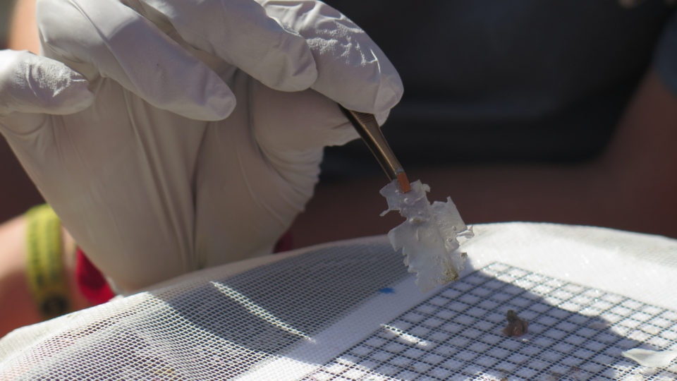
In the study, the research team examined 56 different wild birds from 51 distinct species, all sampled from the Tianfu airport in western China. The researchers found high concentrations of microplastics in bird lungs, with an average of 221 particles per species. The most common types identified were chlorinated polyethylene, which is used for insulating pipes and wires, and butadiene rubber, which is a synthetic material in tires.
Although there is no established “safe” level of plastic particles in lung tissue, high levels of microplastics have been linked to serious health risks, including heart disease, cancer, respiratory issues, and fertility problems.
The study highlights an urgent need to tackle plastic pollution in the environment because of its far-reaching impact on ecosystems and human health.
**********
Web Links
Birds breathe in dangerous plastics—and so do we
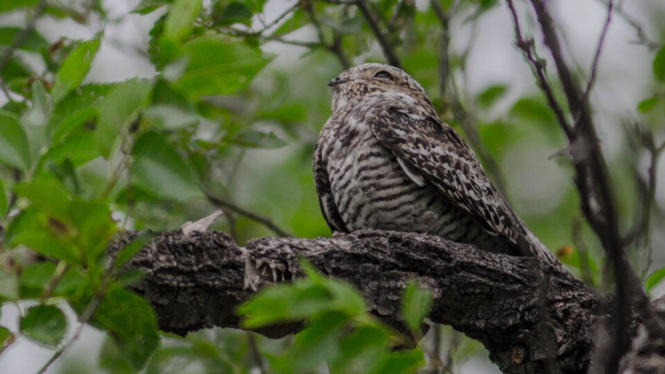
Photo, posted January 28, 2017, courtesy of Pete Richman via Flickr.
Earth Wise is a production of WAMC Northeast Public Radio