
A colossal iceberg known as A-23A broke off from the Filchner Iceshelf in Antarctica in 1986. At that time, it was 1,418 square miles in area, slightly larger than the state of Rhode Island, or roughly twice the size of greater London. It weighed about a trillion tons. It was the largest iceberg ever observed.
After breaking off from the iceshelf, it lodged on the seafloor of the southern Weddell Sea for decades. It finally broke free in the early 2020s and began drifting northward. Last year, it got caught up in a rotating ocean vortex in the Drake Passage, and then became lodged on a shallow coastal shelf south of South Georgia Island. More recently, satellite imagery has shown A-23A to be on the move again.
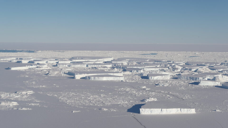
Like other large icebergs that have found their way into the so-called “iceberg alley”, it is gradually succumbing to the effects of warmer air and water. Two large fragments of A-23A have already calved from it. These are huge in their own right: A-23G and A-23I are each over 125 square miles in area. The remaining main body of A-23A is still 580 square miles in area, making it the second largest freely floating iceberg in the world as of September. It had already lost much of its area since it began drifting north.
As it continues to drift northward, A-23A will continue to break apart. Many smaller pieces are littering the sea in its vicinity, but even these are large enough to threaten ships. The 40-year saga of iceberg A-23A is coming to an end.
**********
Web Links
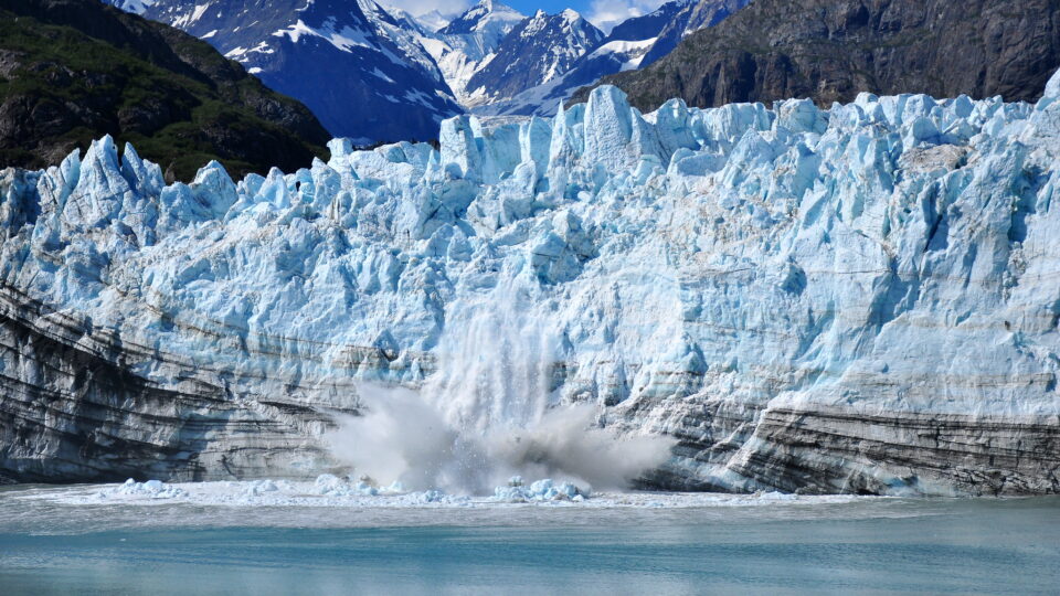
Photo courtesy of the Earth Observatory at NASA.
Earth Wise is a production of WAMC Northeast Public Radio


