• Skip to primary navigation
  • Skip to main content
  • Skip to primary sidebar

Earth Wise

A look at our changing environment.

  • Home
  • About Earth Wise
  • Where to Listen
  • All Articles
  • Show Search
Hide Search
You are here: Home / Archives for mapping

mapping

Regrowing forests naturally

December 17, 2024 By EarthWise Leave a Comment

Naturally regrowing forests is best

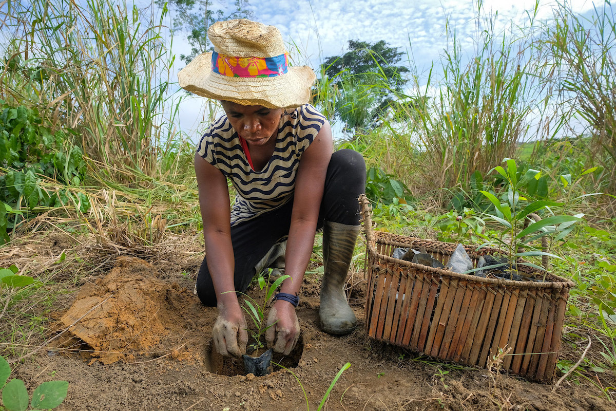
Deforestation is one of the major causes of climate change and restoring and enhancing forests is a major activity around the world as a way to mitigate its effects.  There are high-profile initiatives to plant millions of trees, but these projects are often ill-conceived and poorly managed.

One of the most dramatic failures was the planting of over a million mangrove seedlings on the Filipino island of Luzon back in 2012.  A study 8 years later found that fewer than 2 percent of the trees had survived.  The rest died or were washed away.

The causes of failure in tree planting programs include planting of trees that become vulnerable to disease, competing demands for land, changing climate, planting in areas not previously forested, and a lack of aftercare including watering seedlings.

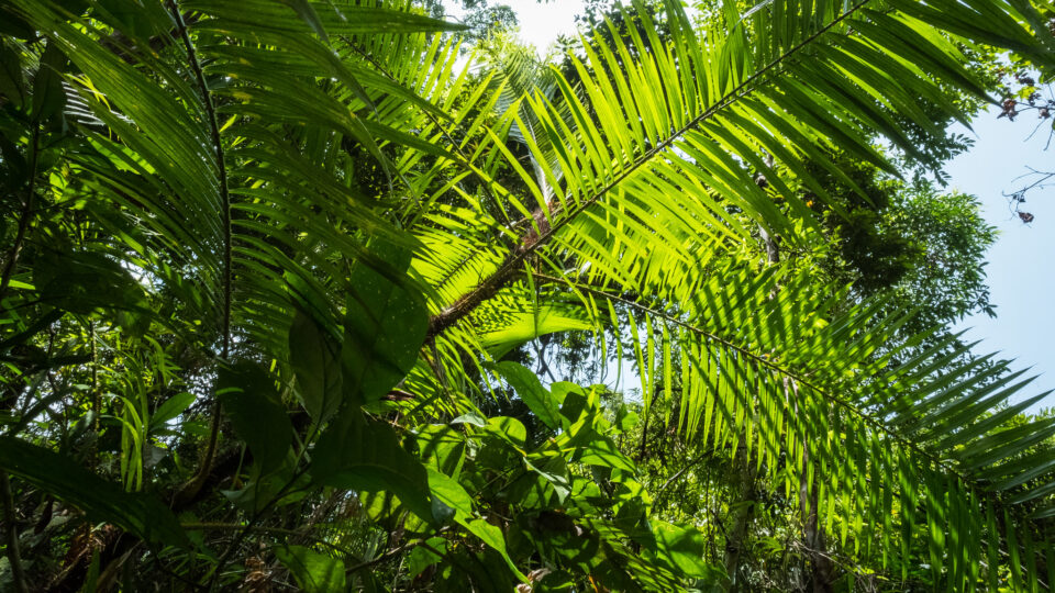
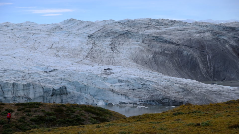
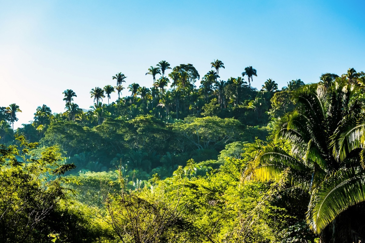
A multinational study recently published in Nature has found that forests could regrow naturally on more than 800,000 square miles of land around the tropics without the need for planting trees by hand.  This is an area larger than Mexico.

The researchers mapped areas where forests would be likely to regrow – areas where soils are healthy and where there is already forest nearby to supply seeds.  In some places, lands are so degraded that it is necessary to plant trees by hand, but this is costly and prone to failure.  Forests that regrow naturally tend to fare better and make better habitats for wildlife.

The effect of regrown forests on the climate would be very substantial.  If these forests were allowed to grow for three decades, they would absorb enough carbon to offset 50 years of emissions by Australia, the home of the lead researcher of the study. 

**********

Web Links

Tropical Forests Could Regrow Naturally on Area the Size of Mexico

Photo, posted February 16, 2018, courtesy of Jason Houston / USAID via Flickr.

Earth Wise is a production of WAMC Northeast Public Radio

Greenhouses and the environment

July 25, 2024 By EarthWise Leave a Comment

The use of greenhouses around the world has been growing dramatically.  A new satellite mapping exercise estimated the total land area covered with permanent greenhouses at 3.2 million acres, which is an area the size of Connecticut.  More than half of this is in China, where the growth of greenhouses has been driven by the rapid urbanization of the country and by a more prosperous population increasingly consuming produce like tomatoes, cucumbers, peppers, and eggplants.

The intensive agricultural methods employed within greenhouses can be harmful to local environments because of overtaxing water supplies and by polluting rivers and soils with nutrients, pesticides, and plastic waste.  But the effects of vast areas of plastic coverings on local temperatures can be even more dramatic, and often beneficial.

There are so many plastic and glass roofs in many areas that they are reflecting sufficient amounts of solar radiation to cool local temperatures.  Greenhouse roofs increase the albedo – the reflectivity – of the land surface typically by a tenth.

All these greenhouses are just the tip of the albedo iceberg.  Many farms now temporarily cover crops with reflective plastic sheets.  If these coverings are included in the satellite survey, the total reflective area would be about ten times greater – roughly the size of New York State.

A study in Almeria, on the Mediterranean coast of Spain, which grows about 3 million tons of fruit and vegetables annually, determined the cooling effects of greenhouses.  Weather stations amid the greenhouses showed an average cooling of 1.3 degrees Fahrenheit compared with the surrounding area.

Greenhouses are an accidental and benign form of climate engineering. The cooling provided by greenhouses is similar to the effect of white roofs in urban areas. 

**********

Web Links

Could the Global Boom in Greenhouses Help Cool the Planet?

Photo, posted September 6, 2017, courtesy of Lance Cheung / USDA via Flickr.

Earth Wise is a production of WAMC Northeast Public Radio

Where not to plant trees

May 10, 2024 By EarthWise Leave a Comment

Tree plantings are not always a good thing

Planting huge numbers of trees is often proposed as a way to reduce the severity of climate change.  Studies have looked at the potential for Earth‘s ecosystems to support large additional areas of forest and have found that it would be possible to have at least 25% more forested area than we do now.  This in turn could capture large amounts of carbon and substantially reduce the amount in the atmosphere.

A recent study by researchers at Clark University in Massachusetts and The Nature Conservancy mapped the climate impact of tree planting across the globe, identifying where it would be most and also least beneficial.  The study, published in Nature Communications, found that trees planted in arid, desert regions or in snowy places like the Arctic would, on balance, worsen warming rather than reduce it.

Trees take up carbon dioxide from the atmosphere, which helps to keep warming in check.  But trees with dark, green leaves also absorb heat from sunlight.   Snow and desert sand, on the other hand, are light-colored and reflect more sunlight back into space.  For this reason, trees planted in snowy areas or in the desert will absorb more sunlight than their surroundings.  This can negate the climate benefits of soaking up carbon dioxide.

Previous studies only looked at how much carbon dioxide would be removed by planting trees in order to determine how much warming would be prevented.  The new study finds that it matters where the trees are planted.

Fortunately, the new study also shows that tree planting projects that are currently underway or that are in the pipeline are largely concentrated in regions where they will indeed help slow global warming.

**********

Web Links

This Map Shows Where Planting Trees Would Make Climate Change Worse

Photo, posted April 5, 2022, courtesy of UC Davis Arboretum and Public Garden via Flickr.

Earth Wise is a production of WAMC Northeast Public Radio

Groundwater loss

December 21, 2023 By EarthWise Leave a Comment

Groundwater is the water found underground in the cracks and spaces in soil, sand, and rock.  It is held in aquifers and bubbles up naturally into springs, streams, and rivers, but also is pumped out for use by people.  Groundwater provides almost half the drinking water in the U.S. and is a main source of water for agriculture.

The world’s supply of groundwater is steadily declining.  The combination of climate change and human population growth is increasingly diminishing groundwater.

A study by the Desert Research Institute published in the journal Nature Communications has mapped the global permanent loss of aquifer storage capacity for the first time.  Computer modeling with advanced machine learning techniques has provided a detailed picture of the world’s groundwater situation.

The study found that global aquifer storage capacity is disappearing at a rate of 10 miles a year, about the size of 7,000 Great Pyramids of Giza.  The loss of groundwater storage is permanent, forever reducing the amount of water that can be captured and stored because the pumping of groundwater can cause the ground surface above to sink, collapsing the space where water can be stored.

About 75% of this subsidence is occurring over cropland and urban regions.  The United States, China, and Iran account for most of the global groundwater storage loss but many other places in the Middle East and Asia are experiencing significant groundwater withdrawal as well.

Most regions of the world do not have monitoring programs for groundwater pumping.  The study underscores the need to better understand this issue on a global scale and take appropriate action before it is too late.

**********

Web Links

Scientists Map Loss of Groundwater Storage Around the World

Photo, posted August 7, 2015, courtesy of NRCS Oregon via Flickr.

Earth Wise is a production of WAMC Northeast Public Radio

Degraded Permafrost In The Arctic

July 11, 2019 By EarthWise Leave a Comment

Permafrost is defined as rock or soil that has been at or below the freezing point of water for two or more years.  Most of it is located in high latitudes in and around the Arctic and Antarctic regions.   Permafrost covers nearly a quarter of the exposed land in the Northern Hemisphere.

Permafrost can contain many different materials including bedrock, sediment, organic matter, water and ice.  Because of the presence of organic matter, permafrost is potentially the source of significant methane emissions if it thaws and the trapped biomass begins to rot.

A recent study looked at the results of 30 years of aerial surveys and extensive ground mapping of an area of Canada’s high Arctic polar desert known as the Eureka Sound Lowlands.  This area has an extremely cold climate and the permafrost there is over 1/3 of a mile thick.  It has long been assumed that this landscape was stable.

Research led by McGill University in Montreal has found that this is not the case.  The increases in summer air temperatures seen in recent years are initiating widespread changes in the landscape.

A particular landform known as a retrogressive thaw slump that forms when ice within permafrost melts and the land slips down is widely occurring in the area.  The absence of vegetation and layers of organic soil in these polar deserts make permafrost in the area particularly vulnerable to increases in summer air temperatures.

The research indicates that despite the cold polar desert conditions that characterize much of the high Arctic, the interaction between ice-rich permafrost systems and climate factors is complex and the links between global warming and permafrost degradation are not well understood.

**********

Web Links

Widespread permafrost degradation seen in high Arctic terrain

Photo, posted August 11, 2018, courtesy of Flickr.

Earth Wise is a production of WAMC Northeast Public Radio.

Ebola And Bats

August 29, 2016 By WAMC WEB

https://earthwiseradio.org/wp-content/uploads/2016/08/EW-08-29-16-Ebola-and-Bats.mp3

Filoviruses have devastating effects on people and primates, as evidenced by the 2014 Ebola outbreak in West Africa. For nearly 40 years, preventing spillovers has been hampered by an inability to pinpoint which wildlife species harbor and spread the viruses.

[Read more…] about Ebola And Bats

Primary Sidebar

Recent Episodes

  • An uninsurable future
  • Clean energy and jobs
  • Insect declines in remote regions
  • Fossil fuel producing nations ignoring climate goals
  • Trouble for clownfishes

WAMC Northeast Public Radio

WAMC/Northeast Public Radio is a regional public radio network serving parts of seven northeastern states (more...)

Copyright © 2025 ·