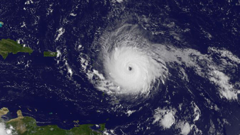
The Atlantic hurricane season officially runs from June 1st until November 30th. Forecasters at Colorado State University have issued forecasts of Atlantic basin hurricane activity since 1984 based on the pioneering work of Professor William Gray. This year’s forecast, issued in April, predicts a higher-than-average number of Atlantic storms. In fact, it may be one of the most active seasons on record.
On average, there are 14 named storms each season. This year, the prediction is for 23 of them. On average, there are 7 hurricanes each season. This year, the prediction is for 11. The prediction is for 5 major hurricanes among them. These predictions are among the highest on record, although in 2020 they predicted 12 hurricanes. In fact, that year there were 14 that actually took place.
Among the factors at play are that the El Niño that was occurring last year has dissipated and there is a good chance of a La Niña forming, which suppresses upper-level winds thereby making conditions ideal for hurricane formation and intensification. But the overarching factor is global warming which is driving ocean temperature rise. The water in the Atlantic, especially in the eastern Atlantic where most hurricanes form, has seen record-breaking warmth. More warm water means more chances for storms.
Other research groups echo the predictions from Colorado State and, in some cases, see ever greater chances for an extremely active hurricane season. The University of Pennsylvania forecast calls for 33 named storms.
The overall forecast is for a well above-average probability for major hurricanes making landfall along the continental United States coastline and the Caribbean.
**********
Web Links
Weather tracker: US experts predict one of most active hurricane seasons on record
Photo, posted September 5, 2017, courtesy of NASA/NOAA GOES Project via Flickr.
Earth Wise is a production of WAMC Northeast Public Radio


