• Skip to primary navigation
  • Skip to main content
  • Skip to primary sidebar

Earth Wise

A look at our changing environment.

  • Home
  • About Earth Wise
  • Where to Listen
  • All Articles
  • Show Search
Hide Search
You are here: Home / Archives for lowest

lowest

2023: A year of extreme climate

September 11, 2024 By EarthWise 1 Comment

2023 was a year of climate extremes

There have already been all sorts of extreme weather this year in many parts of the world and undoubtedly there will be more to talk about in the coming months.  But the American Meteorological Society has recently published its State of the Climate report for 2023 and it was a year for the record books.

In 2023, the Earth’s layers of heat-reflecting clouds had the lowest extent ever measured.  That means that skies were clearer around the world than on average, a situation that amplifies the warming of the planet.  Since 1980, clouds have decreased by more than half a percent per decade. 

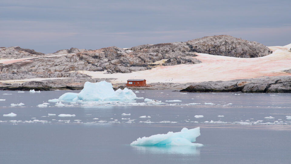
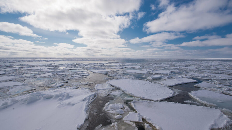
The most dramatic climate effect last year occurred in the world’s oceans.  About 94% of all ocean surfaces experienced a marine heatwave during the year.  The global average annual sea surface temperature anomaly was 0.13 degrees Celsius above the previous record set in 2016.  This is a huge variation for the ocean.  Ocean heatwave conditions stayed in place for at least 10 months in 2023 in vast reaches of the world’s oceans.  Ocean heat was so remarkable that climate scientists are now using the term “super-marine heatwaves” to describe what is going on. 

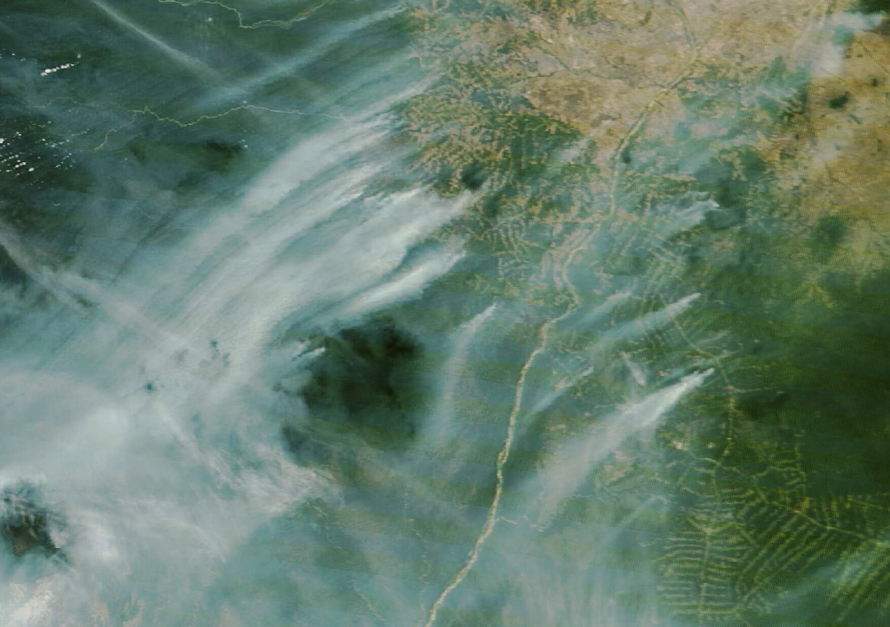
There were many other ways in which 2023 experienced weather extremes.  July experienced a record-high 7.9% of the world’s land areas in severe drought conditions.  During the year, most of the world experienced much warmer-than-average conditions, especially in the higher northern latitudes.  These unprecedented changes to the climate are unlikely to be one-time occurrences; 2024 is likely to be another one for the record books.  

**********

Web Links

New Federal Report Details More of 2023’s Extreme Climate Conditions

Photo, posted May 27, 2021, courtesy of Wendy Cover/NOAA via Flickr.

Earth Wise is a production of WAMC Northeast Public Radio

Threats to the Amazon Rainforest

August 1, 2024 By EarthWise Leave a Comment

Brazil has made great progress in reducing deforestation in its Amazon Rainforest.  In 2023, the rate of deforestation in Brazil dropped by 50% over the previous year. This was the result of the efforts by conservation-minded President Luiz da Silva, who replaced Jair Bolsonaro, a big proponent of deforestation.  Da Silva’s government has cracked down on land clearing by farmers and ranchers.

In the first quarter of this year, deforestation decreased by 40% over the previous year’s quarter.   Deforestation levels are the lowest they’ve been in six years, although the amount of forest cleared in the period was still nearly 200 square miles.

Unfortunately, the Amazon Rainforest is facing another growing threat:  climate change.  Because of pervasive drought and increasing temperatures, the number of wildfires in the region have hit a 20-year high.

According to satellite data from the national space agency, from January through June, Brazil recorded 13,489 wildfires in the Amazon.  That is 61% more fires than during the same period last year.  And the wildfire season has yet to reach its peak, which usually is in August or September.

Many of these fires begin in pastures or recently cleared rainforest, but then spread into the surrounding rainforest areas.  Many are huge fires.  Hundreds of square miles of rainforest have been consumed by fire, comparable in size to the areas deforested by farmers and ranchers.

Going forward, worsening wildfires could reverse the gains being made by the government’s deforestation policies.  This could not only threaten forest protection, but also weaken public support for the government’s commitment to protecting the region.

**********

Web Links

Brazil Is Seeing a Record Number of Wildfires This Year

Photo, posted January 26, 2018, courtesy of Chris Parker via Flickr.

Earth Wise is a production of WAMC Northeast Public Radio

A lake in Death Valley

March 14, 2024 By EarthWise Leave a Comment

A lake has formed in Death Valley

Death Valley in California is the driest place in North America, averaging only 2 inches of rain each year.  Badwater Basin in Death Valley is the lowest point in North America with a depth of 282 feet below sea level.  Currently, Badwater Basin is the site of an ephemeral lake called Lake Manley.

The lake formed again last August after Hurricane Hilary drenched the California desert.  Water levels in the lake dropped throughout the fall, but it never quite dried up.  But then the relentless rains of early February filled the lake once again.

Water that gathers in Badwater Basin usually evaporates faster than it can be replenished, leaving the lakebed dry.  But between the hurricane and the February storm, nearly 4 inches of rain have fallen, and the lake has stayed alive.  There is a river that feeds the lake – the Amargosa – that is really flowing in the aftermath of the storms.

The lake is nearly 7 miles long and 4 miles wide, but the water is only about a foot deep.  This is not the first time it has formed but it is an unusual occurrence.  It formed in 2005, but only lasted about a week.  Death Valley National Park officials expected that the lake would be gone by October, but it persisted into the new year which then brought the atmospheric river-driven California rainstorms.

At this point, it is unclear how long the lake in the driest place in America will be around.  While it is there, visitors to the national park can enjoy beautiful views of the nearby mountains reflected in its waters.

**********

Web Links

Deep in Death Valley, a Sprawling Lake Takes Form

Photo, posted February 19, 2024, courtesy of Tom Hilton via Flickr.

Earth Wise is a production of WAMC Northeast Public Radio

Record low Antarctic sea ice

October 30, 2023 By EarthWise Leave a Comment

Record low sea ice levels in Antarctica

Antarctica’s winter came to a close in September and during that month, the continent reaches its maximum amount of sea ice that grows during the darkest and coldest months.  This year, that maximum occurred on September 10th and turned out to be the lowest on record.

The sea ice around Antarctica reached a maximum extent of 6.5 million square miles according to NASA researchers.  That was nearly 400,000 square miles below the previous record low set in 1986. 

There are several possible causes for the meager growth of Antarctic sea ice this year.  It may be a combination of several factors including El Niño, wind patterns, and warming ocean temperatures.  Recent research indicates that ocean heat is most likely playing an important role in slowing ice growth in the cold season and enhancing ice melting in the warm season.

The record-low ice extent so far this year is a continuation of a downward trend in Antarctic sea ice that has gone on since the ice reached a record high in 2014.  Prior to that year, the ice surrounding the southern continent was actually increasing slightly by about 1% every decade.

Meanwhile, Arctic sea ice reached its minimum extent in September and it was the sixth-lowest level in the satellite record.  Scientists track the seasonal and annual fluctuations of polar sea ice because they shape polar ecosystems and play a significant role in global climate.  Sea ice melting at both poles reinforces global warming because bright sea ice reflects most of the Sun’s energy back to space while open ocean water absorbs 90% of it.

**********

Web Links

Antarctic Sea Ice Sees Record Low Growth  

Photo, posted June 30, 2023, courtesy of Pedro Szekely via Flickr.

Earth Wise is a production of WAMC Northeast Public Radio

The Great Salt Lake Is Disappearing | Earth Wise

August 31, 2022 By EarthWise Leave a Comment

Utah’s Great Salt Lake is the largest saltwater lake in the western hemisphere.  According to data from the US Geological Survey, the surface water elevation of the Great Salt Lake has fallen to the lowest level since records began in the mid-1800s.  The average elevation is now 4,190 feet above sea level.   With this drop in water level, the surface area of the lake is little more than half of its historical size.  The lower water level has exposed about 700 square miles of previously submerged lakebed.

The lake now contains about a quarter of the volume of water that it did at its high point in 1987.  The precipitous drop in water is a result of water usage from the lake coupled with climate change-fueled drought.   Increased water demand is due to the rapidly growing population of metropolitan Salt Lake City.  Utah’s population is projected to increase by almost 50% by 2060.

The Great Salt Lake goes though seasonal cycles of water loss and replenishment.  Rain and snow generally refill its level.  However, because of the ongoing megadrought in the West, water evaporation and depletion continue to exceed the amount of water entering the lake.  The water levels are expected to further decrease until fall or early winter, when incoming water is expected to equal or exceed evaporation.

The decline of the Great Salt Lake is a serious threat to the economy, ecology, and people of northern Utah.  The lake generates snowpack, is a refuge for hundreds of migratory birds and other wildlife and generates millions of dollars in the economy through mineral extraction and tourism.

**********

Web Links

Utah’s Great Salt Lake is disappearing

Photo, posted October 6, 2020, courtesy of Julie Girard via Flickr.

Earth Wise is a production of WAMC Northeast Public Radio.

Rising Seas In The Maldives | Earth Wise

May 24, 2021 By EarthWise Leave a Comment

Rising seas are threatening the Maldives

The Republic of Maldives is an archipelago in the Indian Ocean, southwest of Sri Lanka and India and about 400 miles from the Asian mainland.  It is one of the world’s most geographically dispersed sovereign states, the smallest Asian country by land area, and, with a little over 500,000 inhabitants, the second least populous country in Asia.  With its spectacular scenic beauty, it is also a premier tourist attraction.

With more than 80% of its 1,190 coral islands standing less than 1 meter above sea level, the Maldives has the lowest terrain of any country in the world.  As a result, the Maldives is particularly vulnerable to the sea level rise associated with climate change.

Some studies predict a grim future for the Maldives as well as other low-lying islands.  One study concluded that the islands could become uninhabitable by 2050 as wave-driven flooding becomes more common and freshwater becomes limited.

The Maldives government has explored plans to purchase land on higher ground in other countries.  Planners are also working to enhance the resilience of the country’s current islands.   An example is Hulhumalé, a newly constructed artificial island northeast of the country’s capital, Malé.

Construction of Hulhumalé began in 1997 and it now covers 1.5 square miles, making it the fourth largest island in the Maldives.  Its population is now more than 50,000, with more than 200,000 expected to eventually move there.  The new island, built by pumping sand from the seafloor onto a coral platform, rises about 2 meters above sea level.  The extra height could make the new island a refuge for Maldivians driven off lower-lying islands by the rising seas.

**********

Web Links

Preparing for Rising Seas in the Maldives

Photo, posted June 15, 2009, courtesy of Elena N via Flickr.

Earth Wise is a production of WAMC Northeast Public Radio.

Record Low Ice In The Bering Sea | Earth Wise

January 30, 2020 By EarthWise Leave a Comment

ice melts global warming

The Bering Sea is the area of the far northern Pacific Ocean that separates Alaska from Russia.  Sea ice in the Bering Sea shrank to its lowest levels in recorded history in 2018, an event with profound effects on northwest Alaska residents who depend on marine resources for food, cash, and culture.

The loss of ice is indicative of very rapid change in the entire northern Bering Sea ecosystem with ramifications for everyone in the region.  A new peer-reviewed study published in the Bulletin of the American Meteorological Society examined the details and consequences of the drastic changes in the Bering Sea.

The study found that the maximum daily Bering Sea ice was the lowest on record, and the widespread impacts of that fact include unprecedented weather effects, marine wildlife die-offs, and sightings of animals outside of their normal range.  Ecological changes included the first documented mass strandings of ice-associated seals, a redistribution of thermally sensitive fish, and a multispecies die-off of seabirds due to starvation.

Persistent and anomalous warm winter weather contributed to poor ice conditions that resulted in a fatal accident on an ice road and retreating and fractured sea ice led to ice-laden flooding that caused power outages and infrastructure damage.  In addition, there have been more than 50 reports of unusual events related to weather and marine wildlife.

The record-low sea ice is a consequence of the warming climate resulting in a warmer ocean, later arrival of sea ice, and more frequent storms than in the pre-industrial era.  These conditions are continuing to increase in occurrence.

**********

Web Links

Record low level of Bering Sea ice causes profound, widespread impacts

Photo, posted April 7, 2014, courtesy of Allen Smith via Flickr.

Earth Wise is a production of WAMC Northeast Public Radio.

Primary Sidebar

Recent Episodes

  • An uninsurable future
  • Clean energy and jobs
  • Insect declines in remote regions
  • Fossil fuel producing nations ignoring climate goals
  • Trouble for clownfishes

WAMC Northeast Public Radio

WAMC/Northeast Public Radio is a regional public radio network serving parts of seven northeastern states (more...)

Copyright © 2026 ·