• Skip to primary navigation
  • Skip to main content
  • Skip to primary sidebar

Earth Wise

A look at our changing environment.

  • Home
  • About Earth Wise
  • Where to Listen
  • All Articles
  • Show Search
Hide Search
You are here: Home / Archives for fishing vessels

fishing vessels

Air Pollution In The Arctic | Earth Wise                     

March 8, 2023 By EarthWise Leave a Comment

Climate change is shrinking the Arctic ice cover, which is making it easier for ships to travel along the northern coast of Russia, known as the Northern Sea Route or the Northeast Passage.  There is also the Northwest Passage, which connects the Atlantic and Pacific Oceans via waterways through the Canadian Arctic Archipelago.

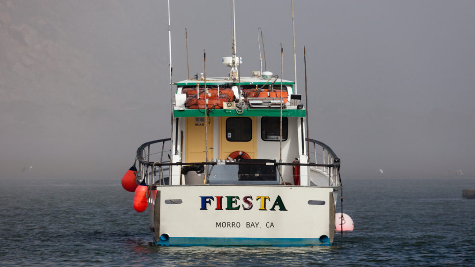
More than 600 fishing vessels sail the waters of the Arctic Ocean, but these fishing vessels are not the worst offenders when it comes to the growing problem of air pollution.  Giant natural gas tankers are becoming a much bigger problem.

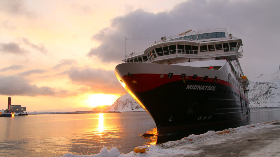
In 2021, only 26 natural gas tankers traveled through Arctic waters.  But these ships can be 1000 feet long or more and produce far more CO2 emissions than fishing boats.   In 2019, the tankers accounted for 28% of the emissions and the number of them cruising the Arctic has been growing.

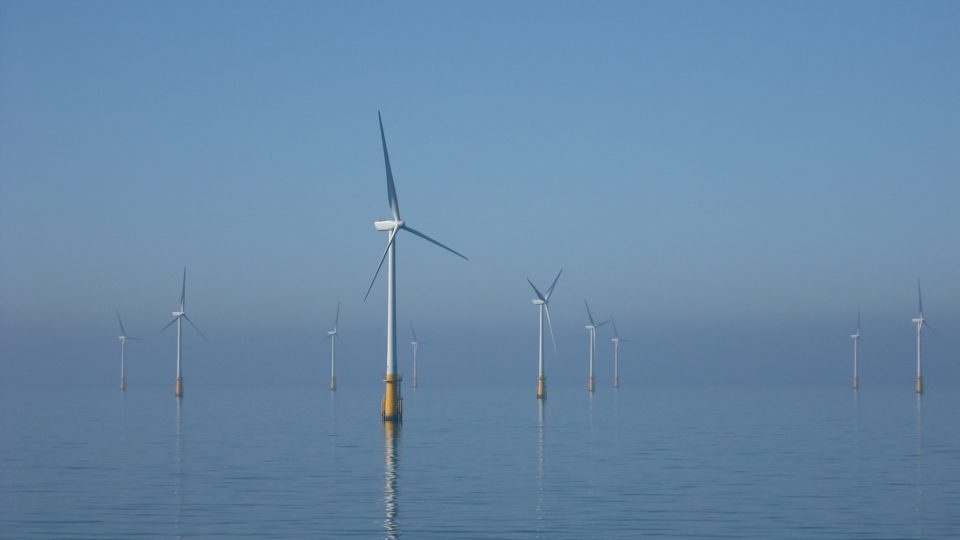
As the ice cover in the Arctic continues to shrink, more and more ships of all varieties, including cruise ships, fishing vessels, as well as tankers, are coming north and spending more time in the Arctic.  Any increases in ship traffic will increase the pollutant load in the Arctic and the Arctic is one of the most vulnerable environments in the world.

Between 2013 and 2019, the aggregated nautical miles that vessels traveled in what is called the Polar Code area increased by 75%. It isn’t just that more ships like tankers are going there.  It is that their operational season is expanding.

Air pollution isn’t the only problem.  Shipping in the Arctic brings with it light pollution, noise, marine litter, and more.  Only zero activity has zero pollution.

**********

Web Links

The worst polluters in the Arctic are not what you think

Photo, posted February 26, 2015, courtesy of Chris Parker via Flickr.

Earth Wise is a production of WAMC Northeast Public Radio

A Plan For New England Offshore Wind | Earth Wise

January 17, 2020 By EarthWise Leave a Comment

New England offshore wind

Last December, the Bureau of Ocean Energy Management auctioned off lease rights for developing offshore wind in the New England Wind Energy Area.  The auction brought in hundreds of millions of dollars.

Recently, the five New England offshore wind leaseholders – Equinor, Mayflower Wind, Ørsted, Eversource, and Vineyard Wind – jointly submitted a uniform turbine layout proposal to the U.S. Coast Guard.

The five developers joined forces to respond to feedback from key stakeholders in the region including the fisheries industry, the Coast Guard, the Bureau of Ocean Energy Management, and coastal communities.

The proposed layout specifies that wind turbines will be spaced one nautical mile apart, arranged in east-west rows an north-south columns, and the rows and columns will be continuous across all New England lease area.  Independent expert analysis confirmed that this uniform layout would provide for robust navigational safety and search-and-rescue capability by providing hundreds of transit corridors to accommodate the region’s vessel traffic.

Vessels up to 400 feet in length can safely operate within the proposed turbine layout and will allow the region’s many fishing vessels to follow a wide range of transit paths as they come from many different ports and head to a variety of fishing grounds.

The New England Wind Energy Area is expected to be able to provide as much as 8 GW of electricity generation for the states in the region.  Getting approval for this planned layout is one of multiple steps required before the offshore wind complex becomes a reality.  Overall, states along the U.S. East Coast are seeking to procure more than 19,300 MW of offshore wind capacity through 2035

**********

Web Links

New England offshore wind developers submit uniform layout proposal to the U.S. Coast Guard

Photo courtesy of Flickr.

Earth Wise is a production of WAMC Northeast Public Radio.

Fish And Ships

April 25, 2019 By EarthWise Leave a Comment

Solutions to overfishing of certain tuna and shark populations have been hindered by some significant unknowns:  where the fishing is happening, and where the fish are.  But researchers from Stanford University have recently shed some light on this mystery. 

According to a paper recently published in the journal Science Advances, the researchers have developed a map of shark, tuna, and ship movements that could help ocean managers identify regions of the sea where vulnerable species may be at risk. 

The researchers’ work builds on a 2018 study in which four years of satellite vessel movement data was used to develop a machine learning algorithm that mapped the footprint of 70,000 different fishing vessels around the world.  In their paper, the researchers zeroed in on the activities of 900 vessels from 12 countries in the northeast Pacific Ocean to figure out to what degree fishing fleets, sharks, and tunas overlapped. 

The researchers combined the vessel data with the ocean habitat preferences of sharks and tunas obtained from a decade-long tracking program called Tagging of Pacific Predators (or TOPP).  According to the IUCN, most of the 876 individuals tagged in TOPP belong to species that are either threatened or near-threatened.

By synthesizing this data, researchers were able to map where sharks and tunas would have the highest overlap with commercial fishing vessels.  Increasing the transparency of where fish meets fleets will allow ocean managers to determine where international protections may be needed. 

The United Nations is currently developing the world’s first legally binding treaty to protect international waters.  The Stanford University researchers hope their findings can help with this treaty’s formulation. 

**********

Web Links

Tunas, sharks and ships at sea

Photo, posted June 20, 2011, courtesy of Mike Baird via Flickr.

Earth Wise is a production of WAMC Northeast Public Radio.

Primary Sidebar

Recent Episodes

  • Sustainable Jet Fuel | Earth Wise
  • Protecting Wetlands | Earth Wise
  • Offshore Wind Industry In New York | Earth Wise
  • Protected Areas Are Not Protecting Insects | Earth Wise
  • Self-Deicing Roads | Earth Wise

WAMC Northeast Public Radio

WAMC/Northeast Public Radio is a regional public radio network serving parts of seven northeastern states (more...)

Copyright © 2023 ·