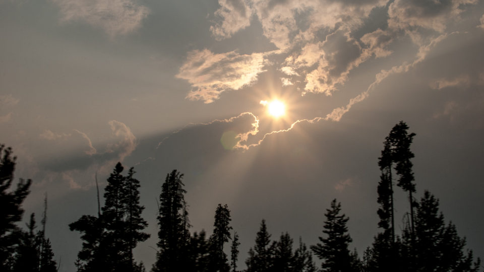
In 2016 and 2017, wildfires in western Canada spawned thunderstorms that ignited additional fires, in some cases tens of miles away from the original fire. These fire-triggered thunderstorms are technically known as pyrocumulonimbus clouds, or “pyroCb’s”.
The physics of pyroCb’s is complex. When super-heated updrafts from an intense fire suck smoke, ash, burning materials, and water vapor high into the air, these elements cool and form so-called fire clouds that look and act like the cumulonimbus clouds associated with classic thunderstorms. What is different is that the heat and particulates in the smoke almost always arrest the ability of the cloud to produce rain. Instead, what remains is a lightning storm that moves across the landscape, triggering more fires.
These PyroCb events appear to be happening far more often, producing more energy, and erupting in places where they have never been seen before. As the world warms, wildfires themselves are becoming larger and hotter. In the past decade, wildfires have been burning more than twice as many acres as they did before the turn of the 21st century. Along with the growth in wildfire activity, there has been an increase in PyroCb events, and there are now an average of 25 per year in western North America.
Apart from starting new fires, pyroCb’s also have similar effects as moderate-sized volcanic eruptions. Smoke and aerosols from wildfires can rise high into the stratosphere, where they can linger for months. Eventually, the particles carried aloft in the atmosphere do come down, dumping dangerous chemicals on far flung regions of the earth. But unlike volcanic eruptions, which are relatively rare events, pyroCb’s are happening more and more each year.
**********
Web Links
Fire-Induced Storms: A New Danger from the Rise in Wildfires
Photo, posted July 31, 2013, courtesy of Loren Kerns via Flickr.
Earth Wise is a production of WAMC Northeast Public Radio.
